Transport Functions
Port
Road
Hub Profile
Place type
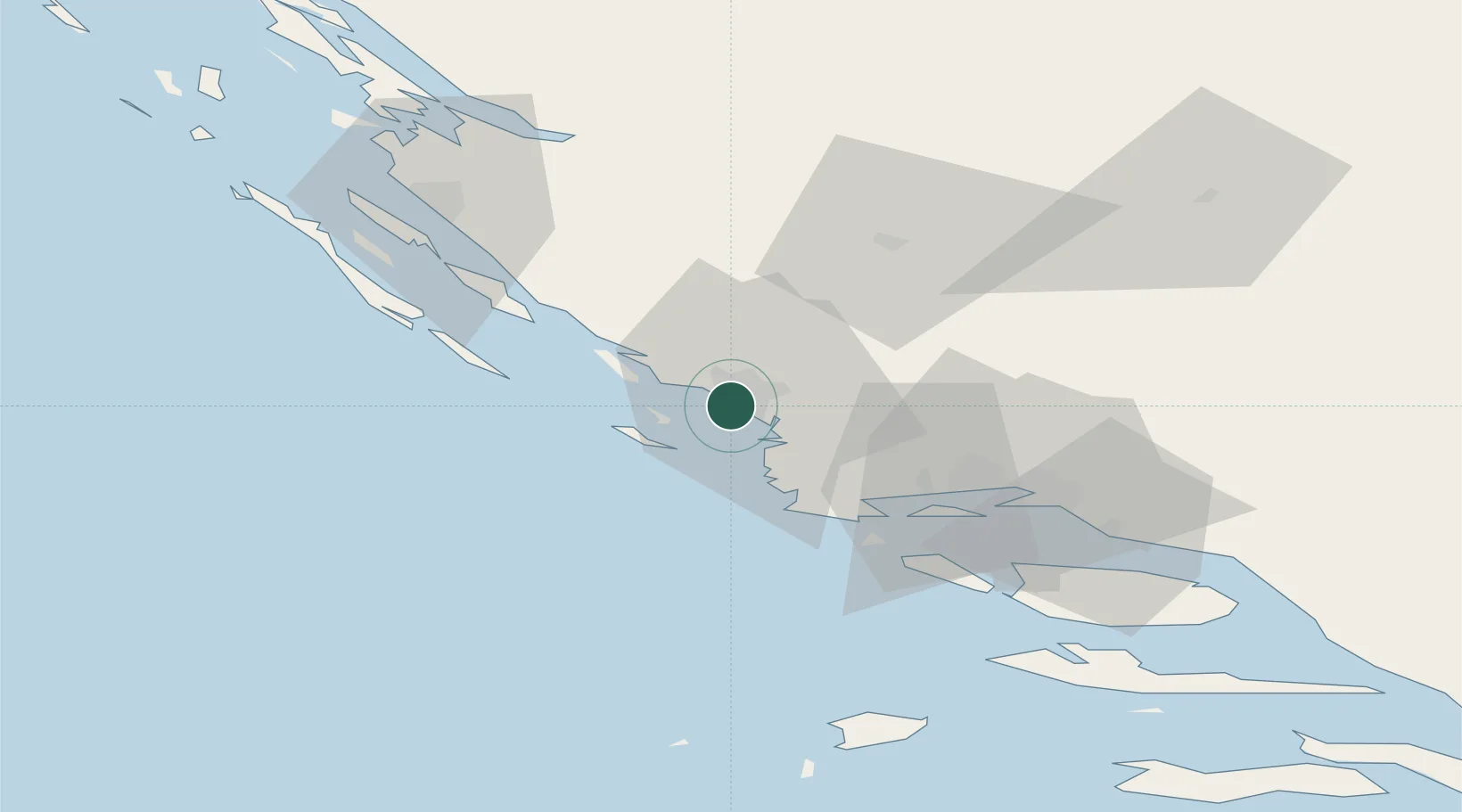
Populated place
Region
Šibenik-Knin
Time zone
Europe/Zagreb
Elevation
1 m
Location
Nearby Logistics Neighbours
Cities
- 1Zlarin2 km
- 2Sibenik3 km
- 3Prvic4 km
- 4Prvic Sepurine6 km
- 5Obonjan7 km
Airports
- 1Split Saint Jerome Airport41 km
- 2Zadar Airport58 km
- 3Brač Airport82 km
- 4Udbina Airfield94 km
- 5Mostar International Airport168 km
Trade Zones
- 1Port of Split Free Zone51 km
- 2Split-Dalmatia Free Zone54 km
- 3Port of Ploče Free Zone148 km
- 4Free Zone Hercegovina164 km
- 5Port of Pula Free Zone205 km
DatabookThe Record of Consolidated Knowledge
Croatia beyond logistics?