Transport Functions
Rail
Road
Hub Profile
Place type
Provincial seat
Region
Split-Dalmatia
Population
10,771
Time zone
Europe/Zagreb
Elevation
322 m
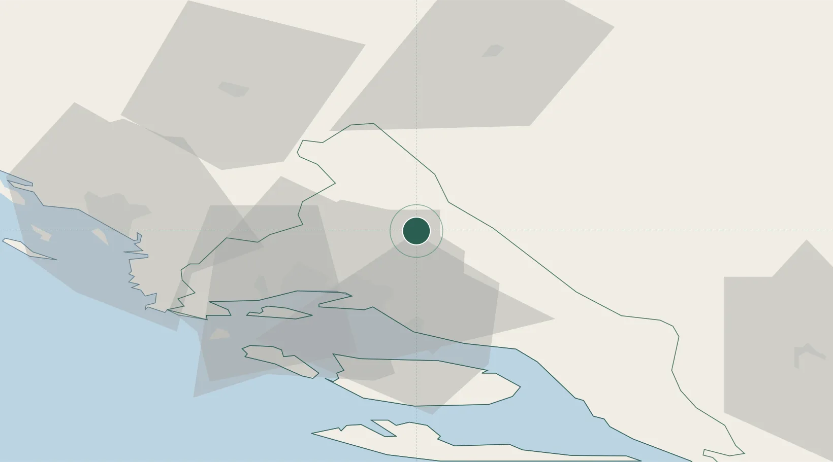
Location
Nearby Logistics Neighbours
Cities
- 1Dugopolje13 km
- 2Solin20 km
- 3Vranjic23 km
- 4Sveti Kajo24 km
- 5Sucurac24 km
Airports
- 1Split Saint Jerome Airport32 km
- 2Brač Airport46 km
- 3Mostar International Airport108 km
- 4Zadar Airport112 km
- 5Udbina Airfield117 km
Trade Zones
- 1Split-Dalmatia Free Zone24 km
- 2Port of Split Free Zone27 km
- 3Port of Ploče Free Zone97 km
- 4Free Zone Hercegovina104 km
- 5Free Zone Visoko127 km
DatabookThe Record of Consolidated Knowledge
Croatia beyond logistics?