Transport Functions
Road
Multimodal
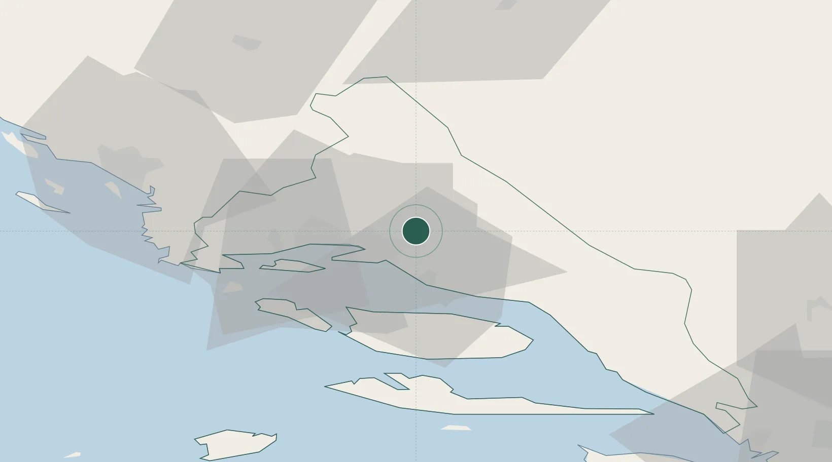
Hub Profile
Place type
Provincial seat
Region
Split-Dalmatia
Population
3,248
Time zone
Europe/Zagreb
Elevation
281 m
Location
Nearby Logistics Neighbours
Cities
- 1Solin9 km
- 2Stobrec11 km
- 3Vranjic12 km
- 4Sinj13 km
- 5Sveti Kajo13 km
Airports
- 1Split Saint Jerome Airport25 km
- 2Brač Airport34 km
- 3Mostar International Airport106 km
- 4Zadar Airport115 km
- 5Udbina Airfield127 km
Trade Zones
- 1Split-Dalmatia Free Zone13 km
- 2Port of Split Free Zone16 km
- 3Port of Ploče Free Zone90 km
- 4Free Zone Hercegovina102 km
- 5Free Zone Visoko134 km
DatabookThe Record of Consolidated Knowledge
Croatia beyond logistics?