Transport Functions
Rail
Road
Hub Profile
Place type
Provincial seat
Region
Brod-Posavina
Population
9,820
Time zone
Europe/Zagreb
Elevation
123 m
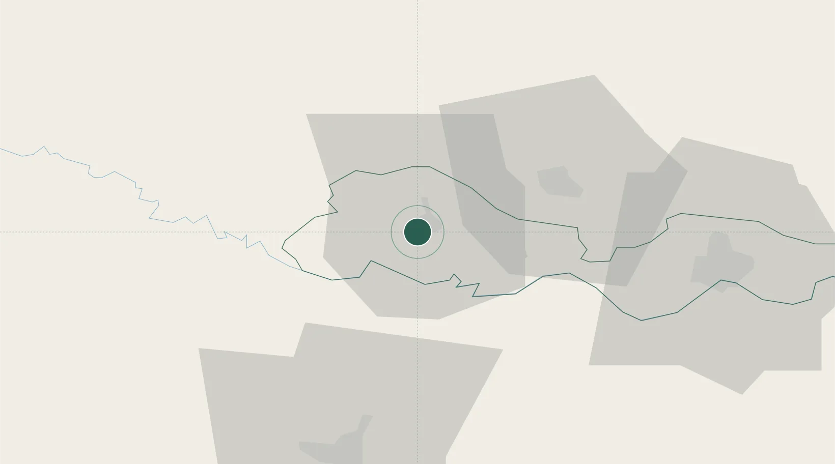
Location
Nearby Logistics Neighbours
Cities
- 1Vinosady9 km
- 2Buchlovice19 km
- 3Pozega26 km
- 4Oriovac32 km
- 5Brodski Stupnik35 km
Airports
- 1Banja Luka International Airport35 km
- 2Pécs-Pogány International Airport107 km
- 3Zagreb Franjo Tuđman International Airport115 km
- 4Osijek Airport115 km
- 5Taszár Air Base134 km
Trade Zones
- 1Duro Daković Free Zone51 km
- 2Osijek Free Zone85 km
- 3Free Zone Holc, Lukavac120 km
- 4Podunavska Gospodarska Zona Vukovar128 km
- 5PJ Free Zone Zagreb131 km
DatabookThe Record of Consolidated Knowledge
Croatia beyond logistics?