UN/LOCODE hub · Croatia
HRTRB

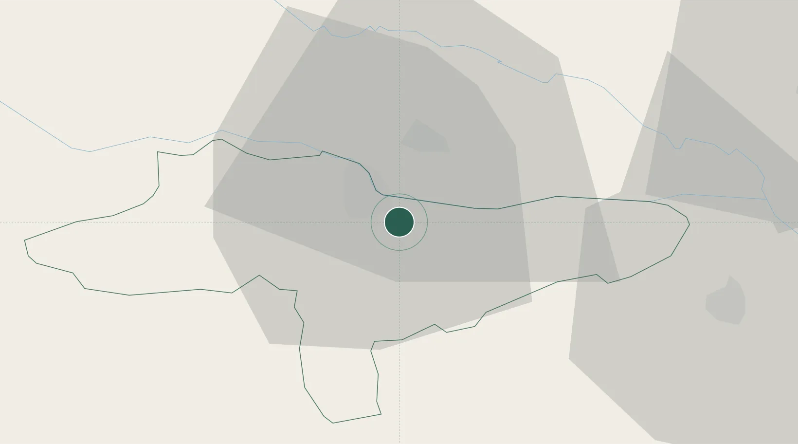
Trnovec Bartolovecki

46.2833°, 16.3833°
3,750
Population
2
Transport functions

Transport Functions

Rail
Road
UN/LOCODE

Hub Profile

Place type
Provincial seat
GeoNames
Region
Varaždin
GeoNames
Population
3,750
GeoNames
Time zone
Europe/Zagreb
GeoNames
Elevation
164 m
GeoNames

Location

Location of HRTRB
Natural Earth 10m (public domain) · Varaždin · HRTRB · 46.28, 16.38GoogleOSMYandex

Nearby Logistics Neighbours

Cities
  1. 1Varazdin4 km
  2. 2Beletinec9 km
  3. 3Beretinec9 km
  4. 4Nedelise9 km
  5. 5Cakovec12 km
Nearest neighbours — logibook spatial index (haversine) over the source coordinates
Ports
  1. 1Bakar180 km
  2. 2Rijeka Luka184 km
  3. 3Senj185 km
  4. 4Omisalj185 km
  5. 5Trieste216 km
Nearest neighbours — logibook spatial index (haversine) over the source coordinates
Airports
  1. 1Maribor Edvard Rusjan Airport58 km
  2. 2Zagreb Franjo Tuđman International Airport65 km
  3. 3Hévíz–Balaton Airport74 km
  4. 4Cerklje ob Krki Air Base78 km
  5. 5Graz Airport107 km
Nearest neighbours — logibook spatial index (haversine) over the source coordinates
Trade Zones
  1. 1Sjever Free Zone3 km
  2. 2Krapina-Zagorje Free Zone42 km
  3. 3PJ Free Zone Zagreb67 km
  4. 4Duro Daković Free Zone177 km
  5. 5Free Zone Kukuljanovo179 km
Nearest neighbours — logibook spatial index (haversine) over the source coordinates
DatabookThe Record of Consolidated Knowledge
Croatia beyond logistics?
Browse databook

All Sources

LocationsUN/LOCODE
UN/LOCODE — free
LocationsGeoNames
CC BY 4.0
Portsthe NGA World Port Index
Public domain (US gov)
AirportsOurAirports
Public domain
Trade Zonesthe World Bank SEZ database
CC BY 4.0
Trade ZonesOpen Zone Map
CC BY
← Croatia locations