Transport Functions
Rail
Road
Hub Profile
Place type
Regional capital
Region
Međimurje
Population
15,078
Time zone
Europe/Zagreb
Elevation
162 m
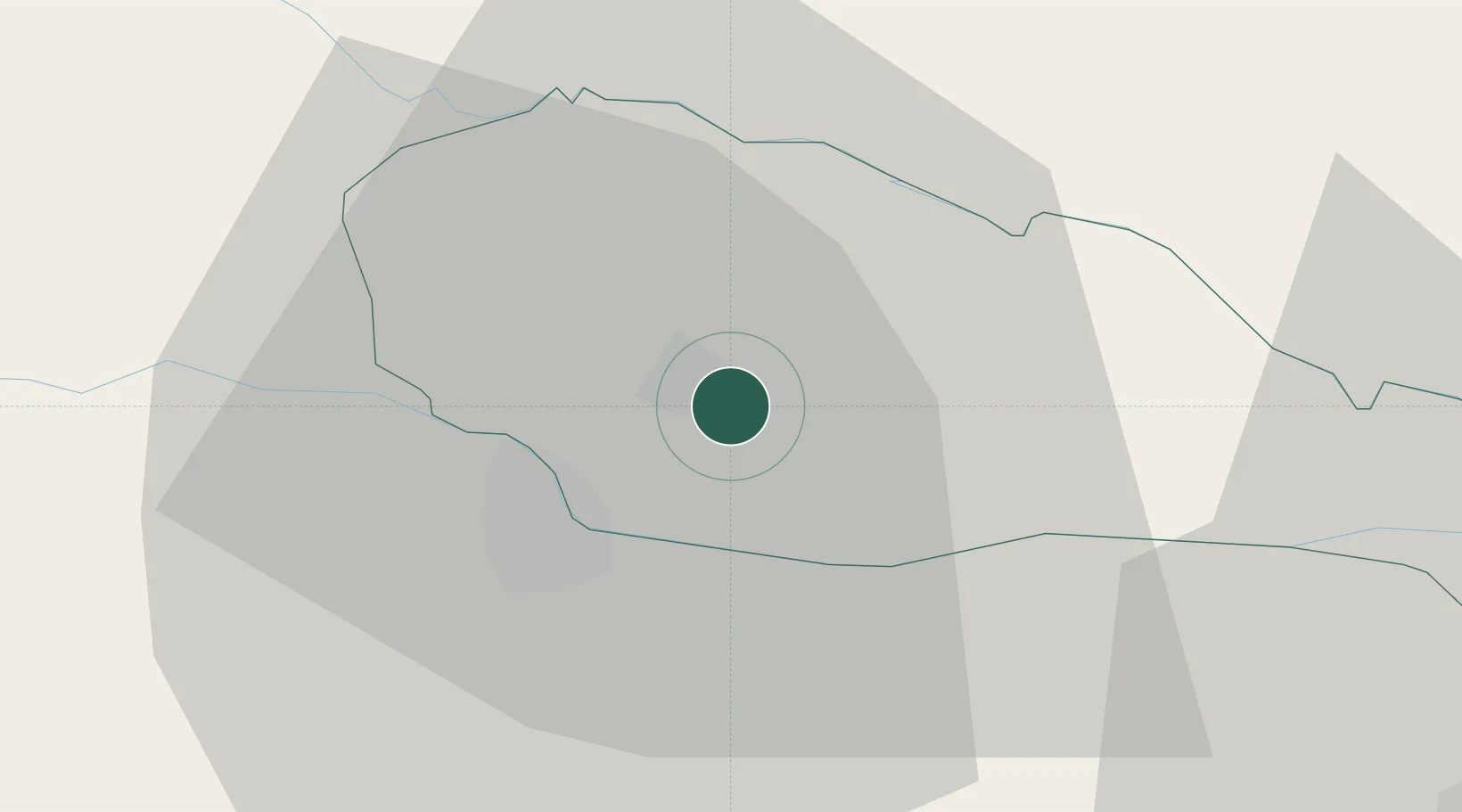
Location
Nearby Logistics Neighbours
Cities
- 1Nedelise4 km
- 2Belica7 km
- 3Macinec9 km
- 4Trnovec Bartolovecki12 km
- 5Varazdin12 km
Ports
- 1Bakar190 km
- 2Rijeka Luka194 km
- 3Omisalj195 km
- 4Senj196 km
- 5Trieste223 km
Airports
Trade Zones
- 1Sjever Free Zone13 km
- 2Krapina-Zagorje Free Zone50 km
- 3PJ Free Zone Zagreb78 km
- 4Duro Daković Free Zone182 km
- 5Free Zone Kukuljanovo189 km
DatabookThe Record of Consolidated Knowledge
Croatia beyond logistics?