Transport Functions
Multimodal
Hub Profile
Place type
Populated place
Region
Krapina-Zagorje
Population
354
Time zone
Europe/Zagreb
Elevation
205 m
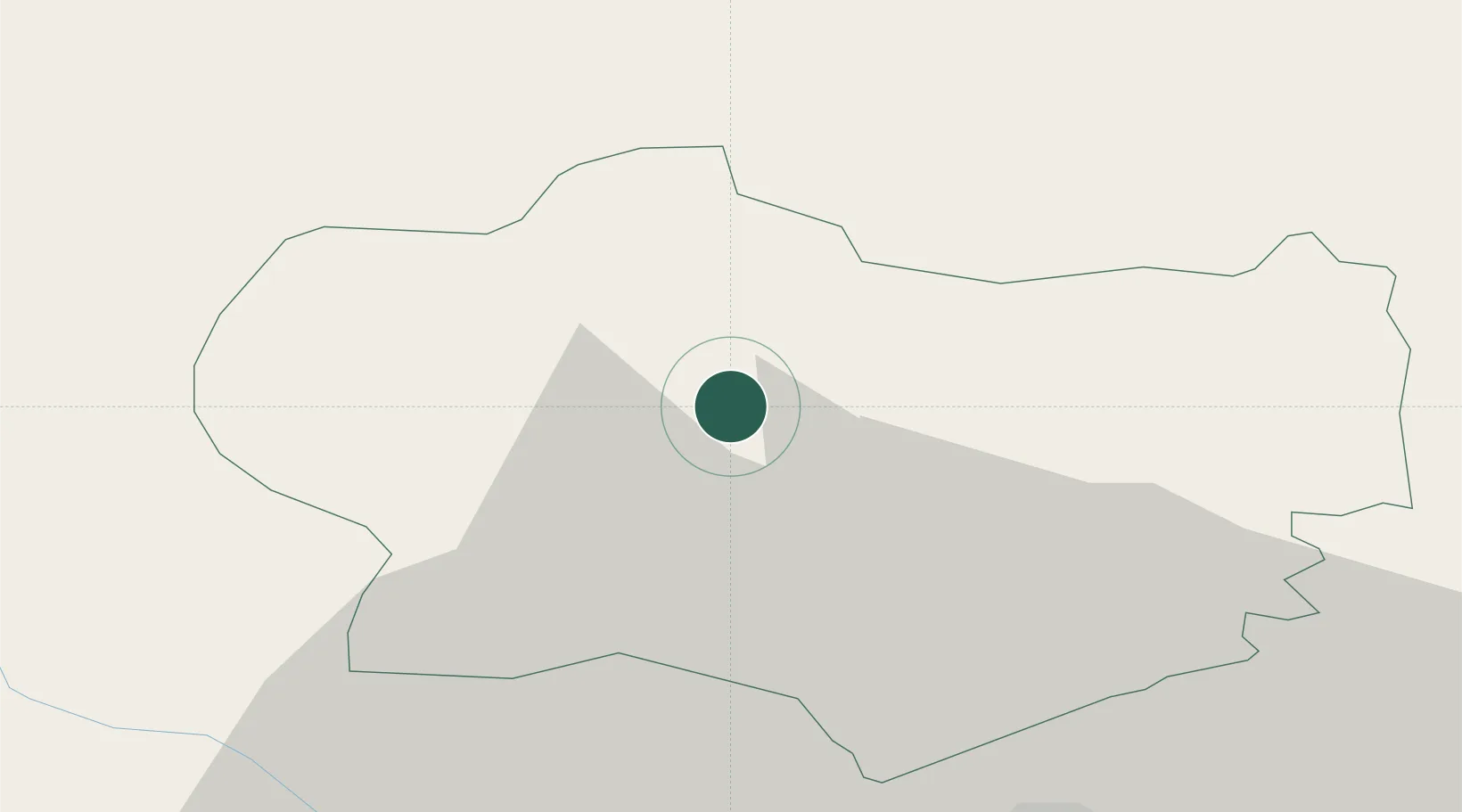
Location
Nearby Logistics Neighbours
Cities
- 1Krapina4 km
- 2Durmanec8 km
- 3Zabok11 km
- 4Bedekovcina12 km
- 5Zetale18 km
Ports
- 1Bakar139 km
- 2Rijeka Luka142 km
- 3Omisalj144 km
- 4Senj148 km
- 5Trieste173 km
Airports
Trade Zones
- 1Krapina-Zagorje Free Zone4 km
- 2PJ Free Zone Zagreb35 km
- 3Sjever Free Zone40 km
- 4Free Zone Kukuljanovo137 km
- 5Port of Rijeka Free Zone163 km
DatabookThe Record of Consolidated Knowledge
Croatia beyond logistics?