Transport Functions
Rail
Road
Hub Profile
Place type
Provincial seat
Region
Krapina-Zagorje
Population
3,408
Time zone
Europe/Zagreb
Elevation
144 m
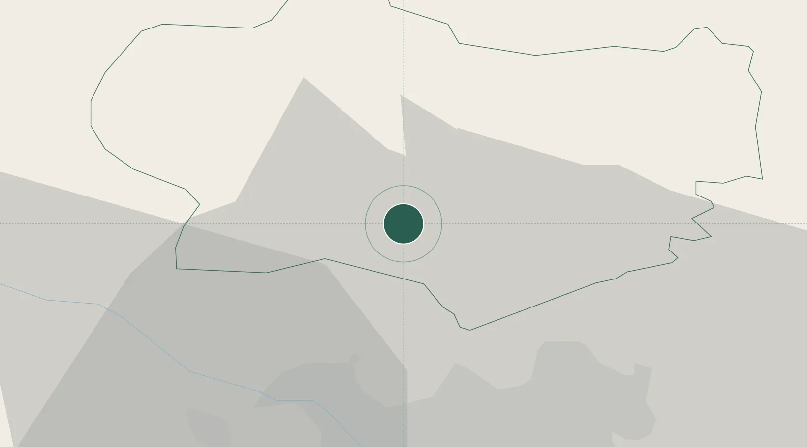
Location
Nearby Logistics Neighbours
Cities
- 1Bedekovcina7 km
- 2Lepajci11 km
- 3Kasina14 km
- 4Krapina15 km
- 5Durmanec19 km
Ports
- 1Bakar133 km
- 2Rijeka Luka137 km
- 3Omisalj138 km
- 4Senj139 km
- 5Muggia172 km
Airports
Trade Zones
- 1Krapina-Zagorje Free Zone15 km
- 2PJ Free Zone Zagreb24 km
- 3Sjever Free Zone46 km
- 4Free Zone Kukuljanovo132 km
- 5Port of Rijeka Free Zone157 km
DatabookThe Record of Consolidated Knowledge
Croatia beyond logistics?