Transport Functions
Rail
Road
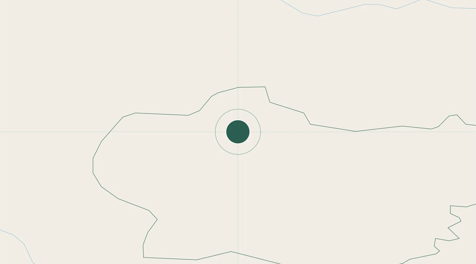
Hub Profile
Place type
Provincial seat
Region
Krapina-Zagorje
Population
786
Time zone
Europe/Zagreb
Elevation
189 m
Location
Nearby Logistics Neighbours
Cities
- 1Krapina5 km
- 2Lepajci8 km
- 3Zetale10 km
- 4Zgornji Leskovec17 km
- 5Zabok19 km
Ports
- 1Bakar141 km
- 2Rijeka Luka144 km
- 3Omisalj147 km
- 4Senj152 km
- 5Trieste172 km
Airports
Trade Zones
- 1Krapina-Zagorje Free Zone5 km
- 2Sjever Free Zone41 km
- 3PJ Free Zone Zagreb43 km
- 4Free Zone Kukuljanovo139 km
- 5Port of Rijeka Free Zone164 km
DatabookThe Record of Consolidated Knowledge
Croatia beyond logistics?