Transport Functions
Rail
Road
Hub Profile
Place type
Regional capital
Region
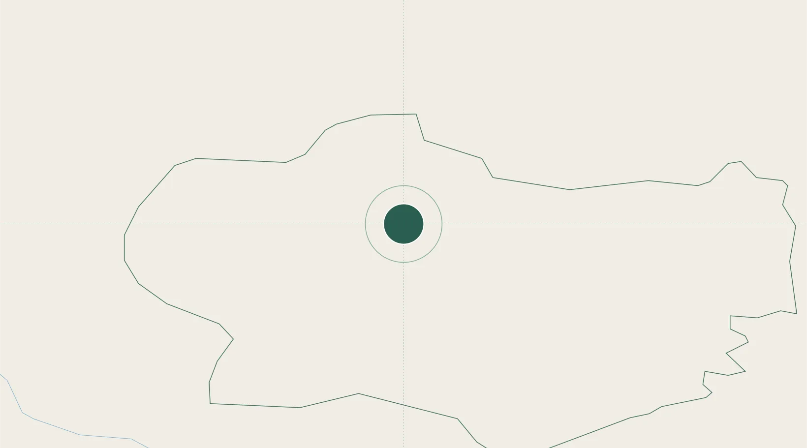
Krapina-Zagorje
Population
4,201
Time zone
Europe/Zagreb
Elevation
247 m
Location
Nearby Logistics Neighbours
Cities
- 1Lepajci4 km
- 2Durmanec5 km
- 3Zetale15 km
- 4Zabok15 km
- 5Bedekovcina16 km
Ports
- 1Bakar140 km
- 2Rijeka Luka144 km
- 3Omisalj146 km
- 4Senj150 km
- 5Trieste173 km
Airports
Trade Zones
- 1Krapina-Zagorje Free Zone1 km
- 2PJ Free Zone Zagreb39 km
- 3Sjever Free Zone40 km
- 4Free Zone Kukuljanovo139 km
- 5Port of Rijeka Free Zone164 km
DatabookThe Record of Consolidated Knowledge
Croatia beyond logistics?