UN/LOCODE hub · Croatia
HRIST

Ist

44.2667°, 14.7667°
146
Population
1
Transport functions

Transport Functions

Port
UN/LOCODE

Hub Profile

Place type
Populated place
GeoNames
Region
Zadar
GeoNames
Population
146
GeoNames
Time zone
Europe/Zagreb
GeoNames
Elevation
11 m
GeoNames

Location

Location of HRIST
Natural Earth 10m (public domain) · Zadar · HRIST · 44.27, 14.77GoogleOSMYandex

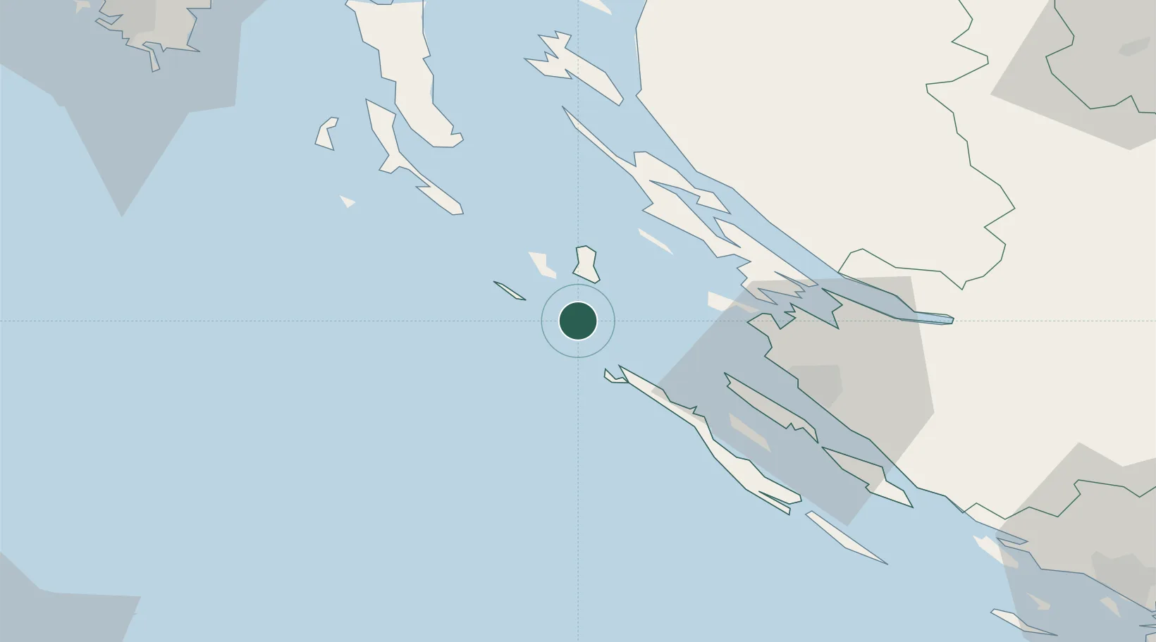
Nearby Logistics Neighbours

Cities
  1. 1Silba12 km
  2. 2Bozava18 km
  3. 3Brbinj/Lucina28 km
  4. 4Privlaka28 km
  5. 5Pag29 km
Nearest neighbours — logibook spatial index (haversine) over the source coordinates
Ports
  1. 1Zadar40 km
  2. 2Senj80 km
  3. 3Pula103 km
  4. 4Zaliv Rasa103 km
  5. 5Omisalj107 km
Nearest neighbours — logibook spatial index (haversine) over the source coordinates
Airports
  1. 1Zadar Airport51 km
  2. 2Udbina Airfield86 km
  3. 3Pula Airport97 km
  4. 4Rijeka Airport107 km
  5. 5Marche Airport134 km
Nearest neighbours — logibook spatial index (haversine) over the source coordinates
Trade Zones
  1. 1Port of Pula Free Zone99 km
  2. 2Port of Rijeka Free Zone111 km
  3. 3Free Zone Kukuljanovo121 km
  4. 4Port of Split Free Zone157 km
  5. 5Split-Dalmatia Free Zone159 km
Nearest neighbours — logibook spatial index (haversine) over the source coordinates
DatabookThe Record of Consolidated Knowledge
Croatia beyond logistics?
Browse databook

All Sources

LocationsUN/LOCODE
UN/LOCODE — free
LocationsGeoNames
CC BY 4.0
Portsthe NGA World Port Index
Public domain (US gov)
AirportsOurAirports
Public domain
Trade Zonesthe World Bank SEZ database
CC BY 4.0
Trade ZonesOpen Zone Map
CC BY
← Croatia locations