Transport Functions
Port
Road
Hub Profile
Place type
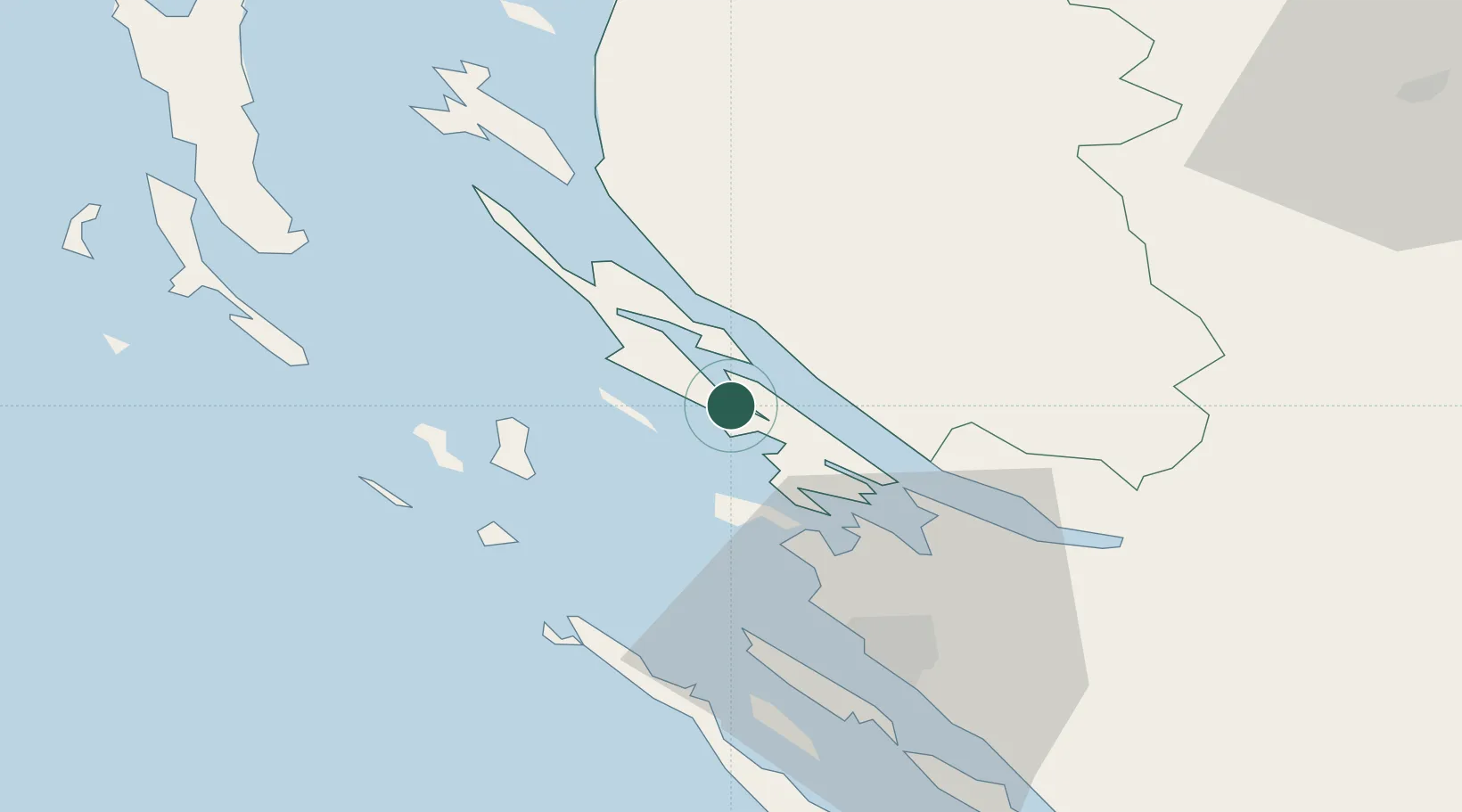
Provincial seat
Region
Zadar
Population
2,322
Time zone
Europe/Zagreb
Elevation
18 m
Location
Nearby Logistics Neighbours
Ports
- 1Zadar38 km
- 2Senj62 km
- 3Omisalj96 km
- 4Sibenik102 km
- 5Zaliv Rasa104 km
Airports
- 1Zadar Airport45 km
- 2Udbina Airfield59 km
- 3Rijeka Airport95 km
- 4Pula Airport103 km
- 5Split Saint Jerome Airport141 km
Trade Zones
- 1Port of Rijeka Free Zone105 km
- 2Port of Pula Free Zone107 km
- 3Free Zone Kukuljanovo109 km
- 4Port of Split Free Zone150 km
- 5Split-Dalmatia Free Zone152 km
DatabookThe Record of Consolidated Knowledge
Croatia beyond logistics?