Transport Functions
Port
Hub Profile
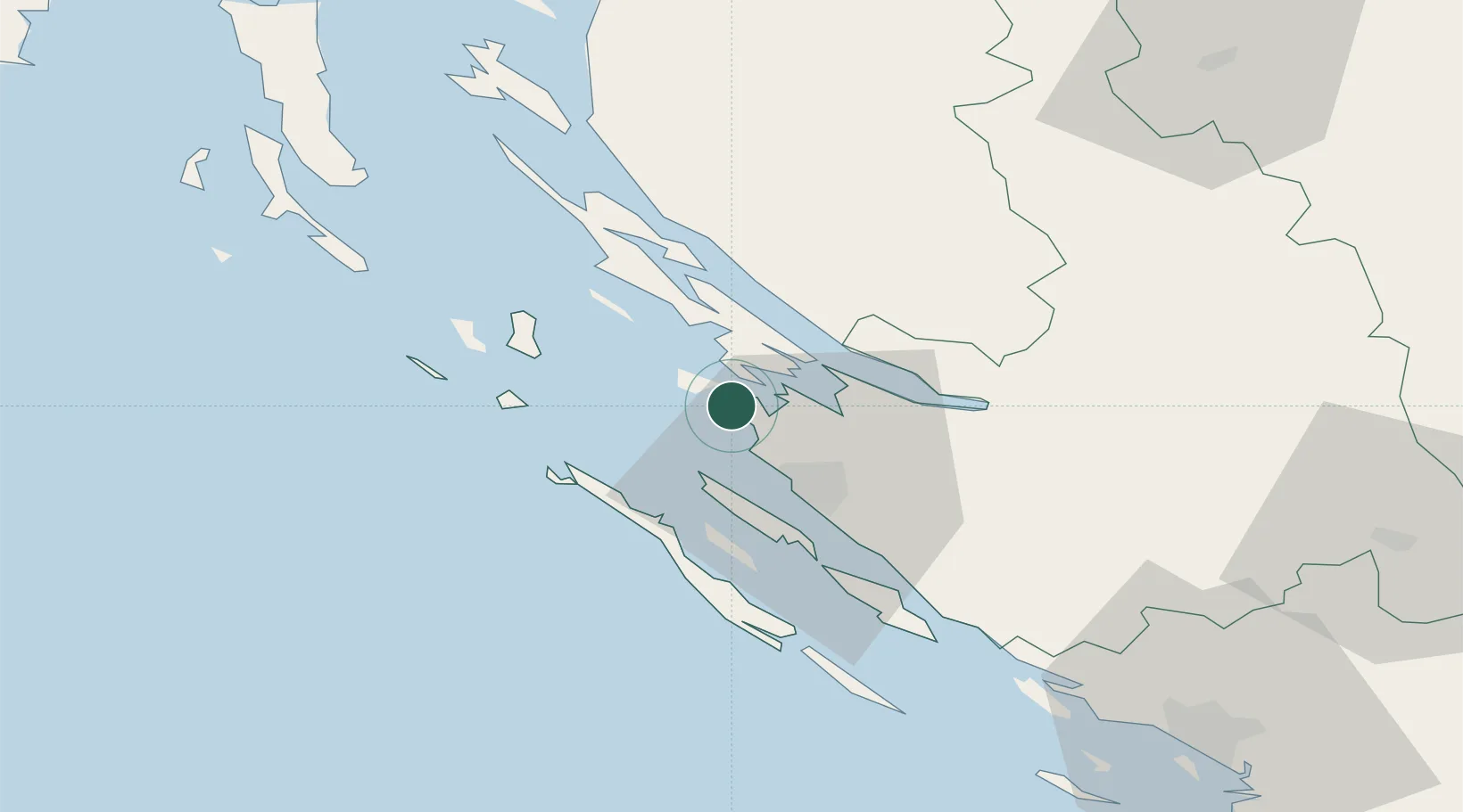
Place type
Provincial seat
Region
Zadar
Population
2,128
Time zone
Europe/Zagreb
Elevation
13 m
Location
Nearby Logistics Neighbours
Cities
- 1Zadar19 km
- 2Pag19 km
- 3Preko21 km
- 4Gazenica22 km
- 5Brbinj/Lucina22 km
Ports
- 1Zadar19 km
- 2Senj82 km
- 3Sibenik85 km
- 4Omisalj115 km
- 5Zaliv Rasa120 km
Airports
- 1Zadar Airport27 km
- 2Udbina Airfield61 km
- 3Rijeka Airport114 km
- 4Pula Airport118 km
- 5Split Saint Jerome Airport125 km
Trade Zones
- 1Port of Pula Free Zone121 km
- 2Port of Rijeka Free Zone123 km
- 3Free Zone Kukuljanovo128 km
- 4Port of Split Free Zone134 km
- 5Split-Dalmatia Free Zone136 km
DatabookThe Record of Consolidated Knowledge
Croatia beyond logistics?