Transport Functions
Port
Hub Profile
Place type
Populated place
Region
Zadar
Population
344
Time zone
Europe/Zagreb
Elevation
14 m
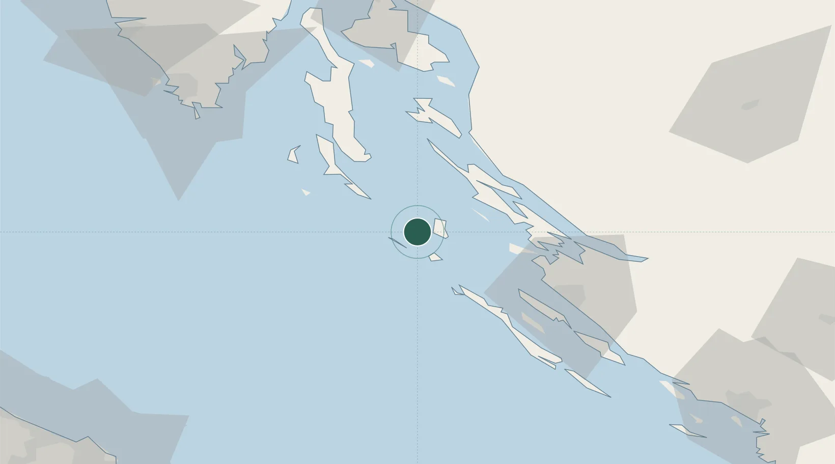
Location
Nearby Logistics Neighbours
Cities
- 1Ist12 km
- 2Veli Losinj23 km
- 3Novaglia25 km
- 4Novalja25 km
- 5Mali Losinj26 km
Ports
- 1Zadar50 km
- 2Senj70 km
- 3Zaliv Rasa91 km
- 4Pula92 km
- 5Omisalj95 km
Airports
- 1Zadar Airport60 km
- 2Pula Airport85 km
- 3Udbina Airfield88 km
- 4Rijeka Airport95 km
- 5Marche Airport136 km
Trade Zones
- 1Port of Pula Free Zone88 km
- 2Port of Rijeka Free Zone98 km
- 3Free Zone Kukuljanovo109 km
- 4Free Port of Trieste161 km
- 5Port of Split Free Zone168 km
DatabookThe Record of Consolidated Knowledge
Croatia beyond logistics?