UN/LOCODE hub · Croatia
HRBZA

Bozava

44.1333°, 14.9000°
118
Population
2
Transport functions

Transport Functions

Port
Road
UN/LOCODE

Hub Profile

Place type
Populated place
GeoNames
Region
Zadar
GeoNames
Population
118
GeoNames
Time zone
Europe/Zagreb
GeoNames
Elevation
12 m
GeoNames

Location

Location of HRBZA
Natural Earth 10m (public domain) · Zadar · HRBZA · 44.13, 14.90GoogleOSMYandex

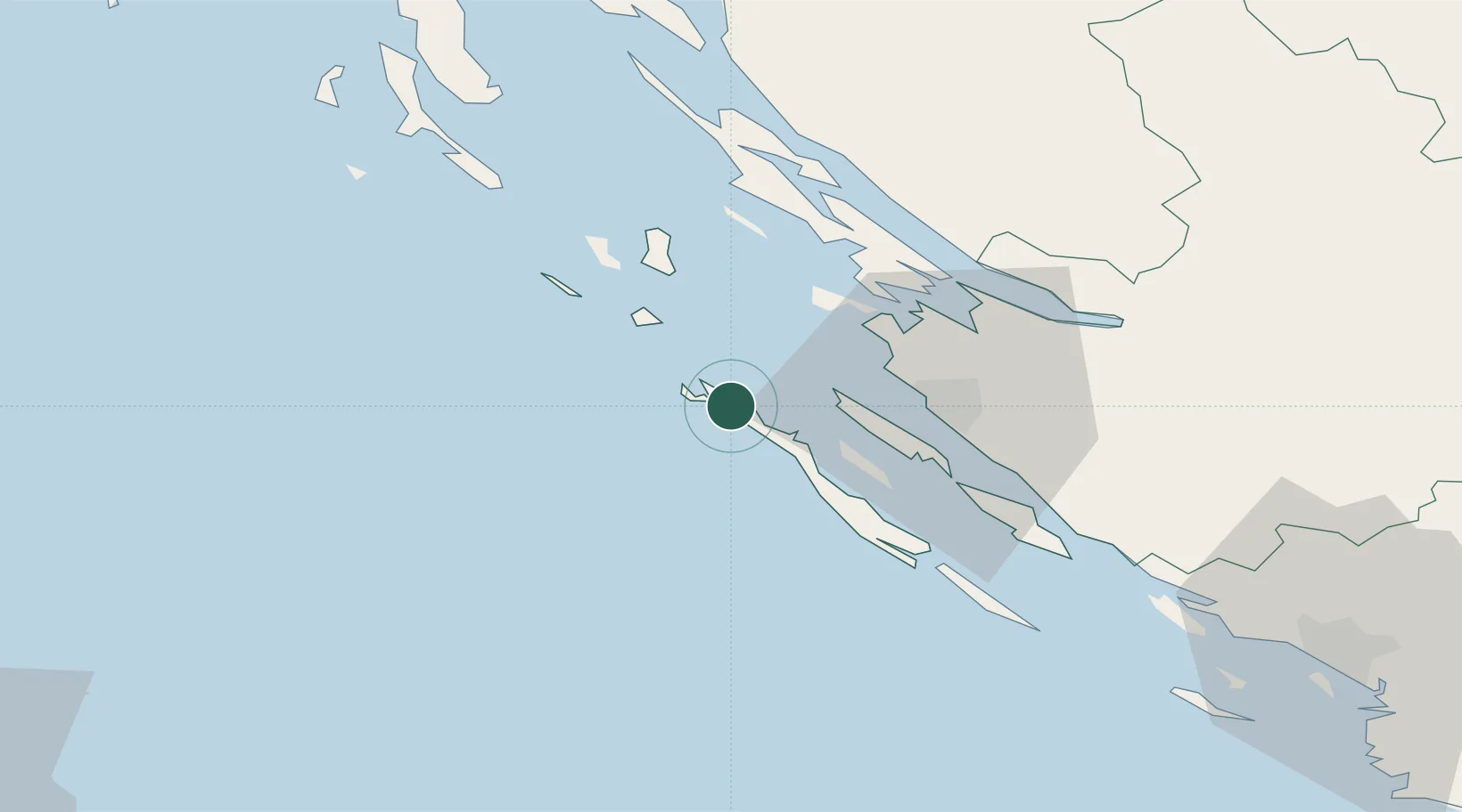
Nearby Logistics Neighbours

Cities
  1. 1Brbinj/Lucina10 km
  2. 2Ist18 km
  3. 3Veli Iz20 km
  4. 4Mali Iz22 km
  5. 5Privlaka23 km
Nearest neighbours — logibook spatial index (haversine) over the source coordinates
Ports
  1. 1Zadar25 km
  2. 2Sibenik90 km
  3. 3Senj95 km
  4. 4Pula121 km
  5. 5Zaliv Rasa121 km
Nearest neighbours — logibook spatial index (haversine) over the source coordinates
Airports
  1. 1Zadar Airport36 km
  2. 2Udbina Airfield84 km
  3. 3Pula Airport115 km
  4. 4Rijeka Airport123 km
  5. 5Split Saint Jerome Airport130 km
Nearest neighbours — logibook spatial index (haversine) over the source coordinates
Trade Zones
  1. 1Port of Pula Free Zone117 km
  2. 2Port of Rijeka Free Zone128 km
  3. 3Free Zone Kukuljanovo137 km
  4. 4Port of Split Free Zone140 km
  5. 5Split-Dalmatia Free Zone143 km
Nearest neighbours — logibook spatial index (haversine) over the source coordinates
DatabookThe Record of Consolidated Knowledge
Croatia beyond logistics?
Browse databook

All Sources

LocationsUN/LOCODE
UN/LOCODE — free
LocationsGeoNames
CC BY 4.0
Portsthe NGA World Port Index
Public domain (US gov)
AirportsOurAirports
Public domain
Trade Zonesthe World Bank SEZ database
CC BY 4.0
Trade ZonesOpen Zone Map
CC BY
← Croatia locations