Transport Functions
Rail
Road
Hub Profile
Place type
Provincial seat
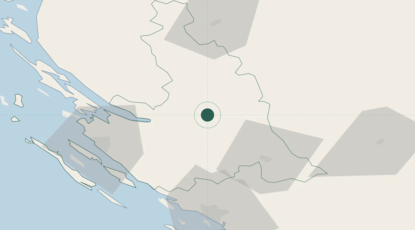
Region
Zadar
Population
2,060
Time zone
Europe/Zagreb
Elevation
561 m
Location
Nearby Logistics Neighbours
Cities
- 1Maslenica27 km
- 2Novigrad (Dalmacija)27 km
- 3Starigrad33 km
- 4Benkovac36 km
- 5Nadin37 km
Airports
- 1Udbina Airfield29 km
- 2Zadar Airport46 km
- 3Split Saint Jerome Airport92 km
- 4Brač Airport131 km
- 5Banja Luka International Airport135 km
Trade Zones
- 1Port of Split Free Zone99 km
- 2Split-Dalmatia Free Zone100 km
- 3Free Zone Kukuljanovo156 km
- 4Port of Rijeka Free Zone160 km
- 5PJ Free Zone Zagreb167 km
DatabookThe Record of Consolidated Knowledge
Croatia beyond logistics?