Transport Functions
Port
Road
Hub Profile
Place type
Provincial seat
Region
Zadar
Population
1,051
Time zone
Europe/Zagreb
Elevation
6 m
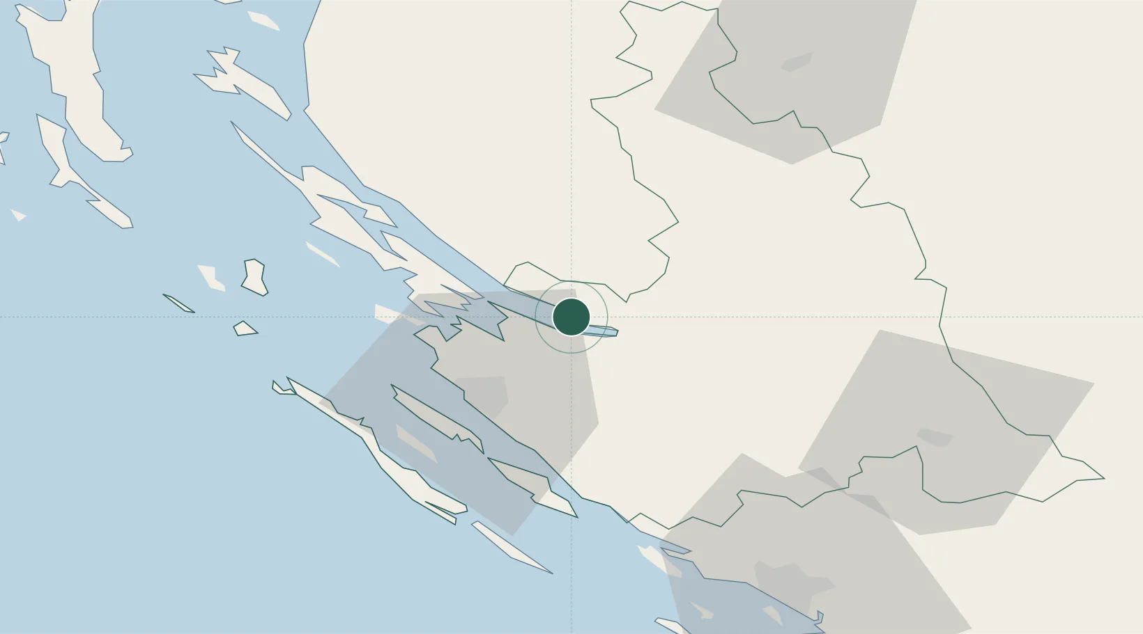
Location
Nearby Logistics Neighbours
Cities
- 1Maslenica12 km
- 2Novigrad (Dalmacija)16 km
- 3Nadin25 km
- 4Privlaka26 km
- 5Zadar26 km
Airports
- 1Zadar Airport24 km
- 2Udbina Airfield39 km
- 3Split Saint Jerome Airport109 km
- 4Rijeka Airport123 km
- 5Pula Airport137 km
Trade Zones
- 1Port of Split Free Zone118 km
- 2Split-Dalmatia Free Zone120 km
- 3Port of Rijeka Free Zone136 km
- 4Free Zone Kukuljanovo136 km
- 5Port of Pula Free Zone141 km
DatabookThe Record of Consolidated Knowledge
Croatia beyond logistics?