Transport Functions
Port
Road
Hub Profile
Place type
Populated place
Region
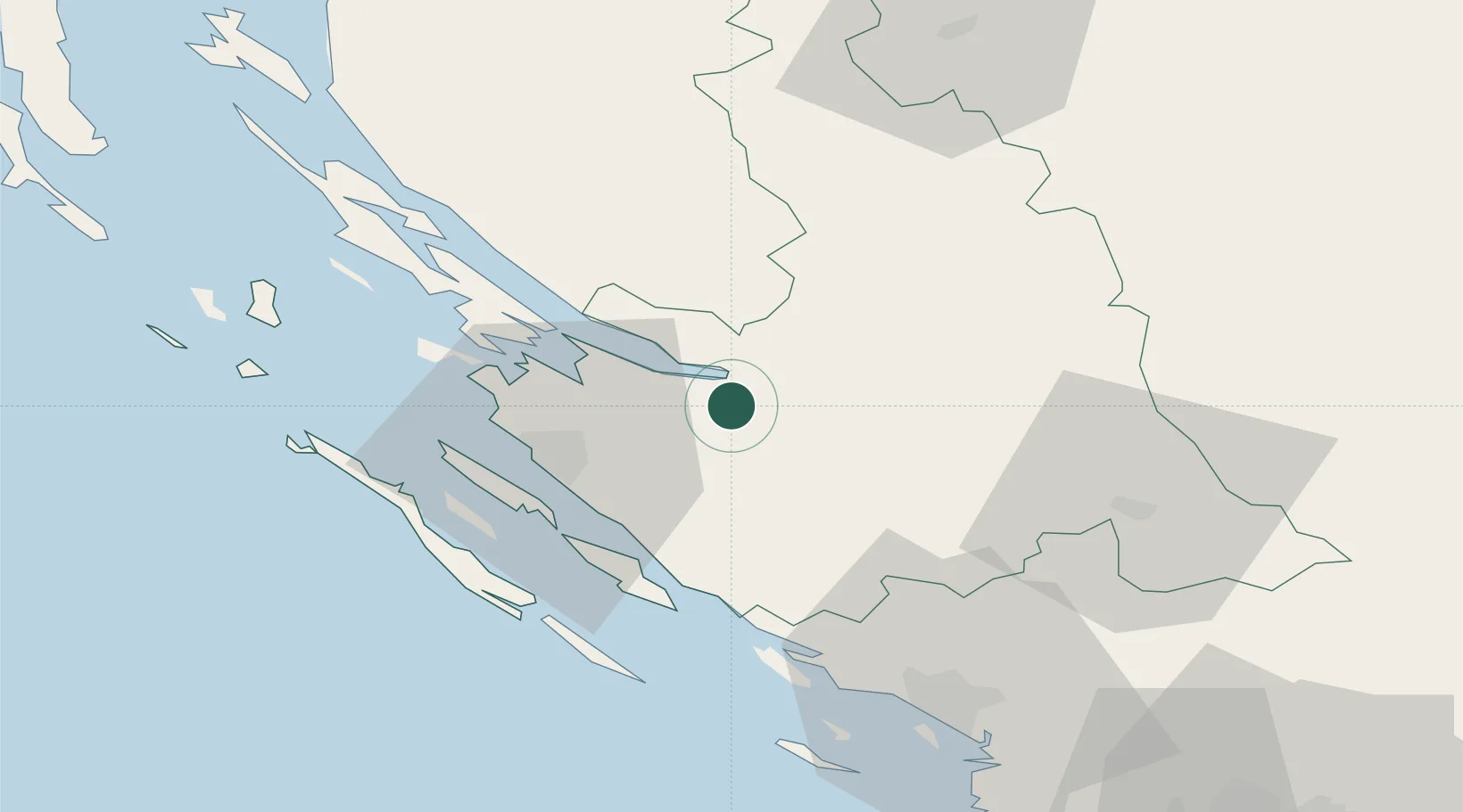
Zadar
Population
800
Time zone
Europe/Zagreb
Elevation
36 m
Location
Nearby Logistics Neighbours
Cities
- 1Novigrad (Dalmacija)4 km
- 2Starigrad12 km
- 3Nadin15 km
- 4Benkovac21 km
- 5Gazenica25 km
Airports
- 1Zadar Airport20 km
- 2Udbina Airfield43 km
- 3Split Saint Jerome Airport97 km
- 4Rijeka Airport135 km
- 5Brač Airport139 km
Trade Zones
- 1Port of Split Free Zone106 km
- 2Split-Dalmatia Free Zone107 km
- 3Port of Rijeka Free Zone148 km
- 4Free Zone Kukuljanovo148 km
- 5Port of Pula Free Zone153 km
DatabookThe Record of Consolidated Knowledge
Croatia beyond logistics?