Transport Functions
Rail
Road
Hub Profile
Place type
Populated place
Region
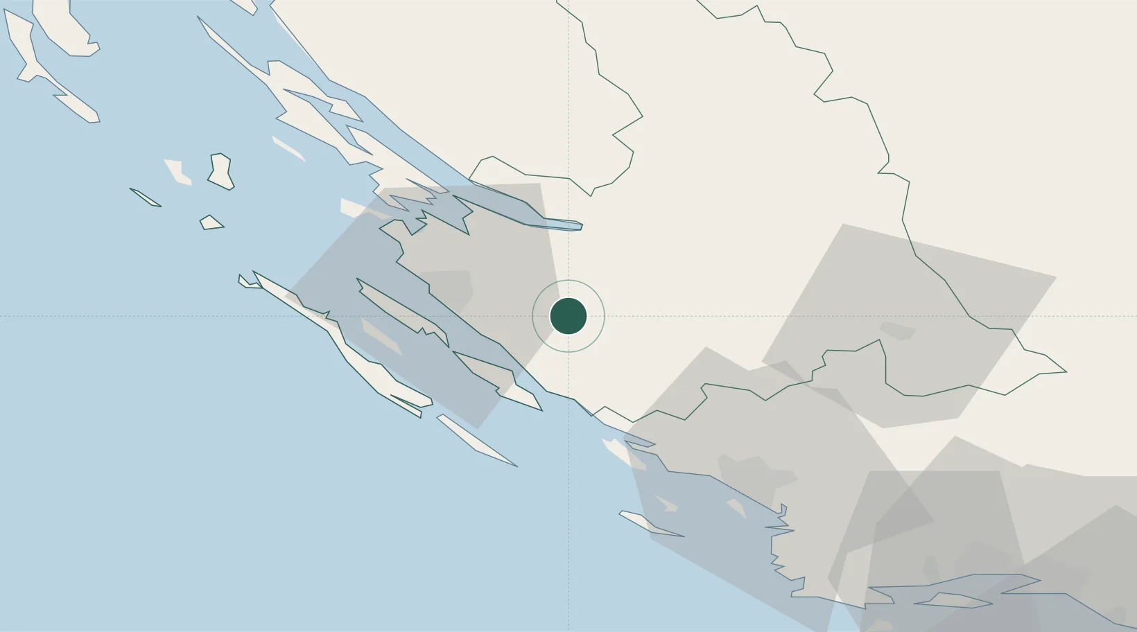
Zadar
Population
371
Time zone
Europe/Zagreb
Elevation
174 m
Location
Nearby Logistics Neighbours
Cities
- 1Benkovac10 km
- 2Novigrad (Dalmacija)12 km
- 3Filipjakov15 km
- 4Maslenica15 km
- 5Turanj15 km
Airports
- 1Zadar Airport12 km
- 2Udbina Airfield57 km
- 3Split Saint Jerome Airport88 km
- 4Brač Airport130 km
- 5Rijeka Airport146 km
Trade Zones
- 1Port of Split Free Zone98 km
- 2Split-Dalmatia Free Zone99 km
- 3Port of Rijeka Free Zone158 km
- 4Port of Pula Free Zone158 km
- 5Free Zone Kukuljanovo160 km
DatabookThe Record of Consolidated Knowledge
Croatia beyond logistics?