UN/LOCODE hub · Croatia
HRHBC

Benkovac

44.0333°, 15.6000°
2,484
Population
1
Transport functions

Transport Functions

Multimodal
UN/LOCODE

Hub Profile

Place type
Provincial seat
GeoNames
Region
Zadar
GeoNames
Population
2,484
GeoNames
Time zone
Europe/Zagreb
GeoNames
Elevation
180 m
GeoNames

Location

Location of HRHBC
Natural Earth 10m (public domain) · Zadar · HRHBC · 44.03, 15.60GoogleOSMYandex

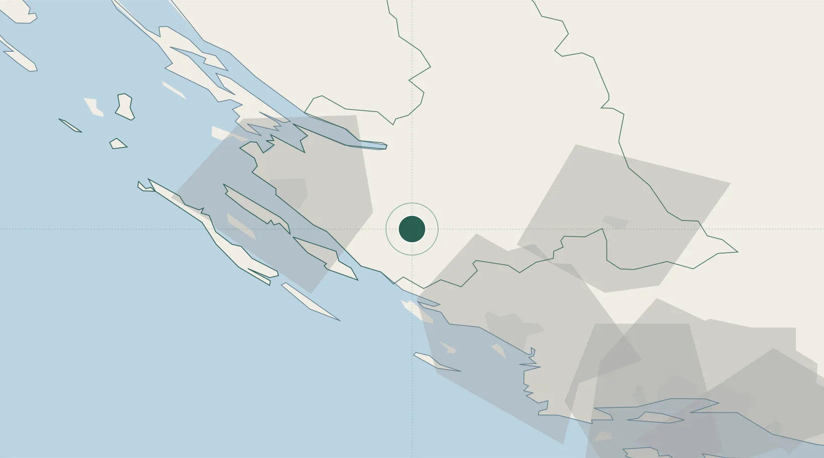
Nearby Logistics Neighbours

Cities
  1. 1Nadin10 km
  2. 2Biograd na Moru16 km
  3. 3Filipjakov16 km
  4. 4Novigrad (Dalmacija)17 km
  5. 5Turanj18 km
Nearest neighbours — logibook spatial index (haversine) over the source coordinates
Ports
  1. 1Zadar32 km
  2. 2Sibenik40 km
  3. 3Split89 km
  4. 4Dugi Rat106 km
  5. 5Senj119 km
Nearest neighbours — logibook spatial index (haversine) over the source coordinates
Airports
  1. 1Zadar Airport21 km
  2. 2Udbina Airfield60 km
  3. 3Split Saint Jerome Airport79 km
  4. 4Brač Airport120 km
  5. 5Rijeka Airport155 km
Nearest neighbours — logibook spatial index (haversine) over the source coordinates
Trade Zones
  1. 1Port of Split Free Zone88 km
  2. 2Split-Dalmatia Free Zone90 km
  3. 3Port of Rijeka Free Zone167 km
  4. 4Port of Pula Free Zone168 km
  5. 5Free Zone Kukuljanovo168 km
Nearest neighbours — logibook spatial index (haversine) over the source coordinates
DatabookThe Record of Consolidated Knowledge
Croatia beyond logistics?
Browse databook

All Sources

LocationsUN/LOCODE
UN/LOCODE — free
LocationsGeoNames
CC BY 4.0
Portsthe NGA World Port Index
Public domain (US gov)
AirportsOurAirports
Public domain
Trade Zonesthe World Bank SEZ database
CC BY 4.0
Trade ZonesOpen Zone Map
CC BY
← Croatia locations