Transport Functions
Multimodal
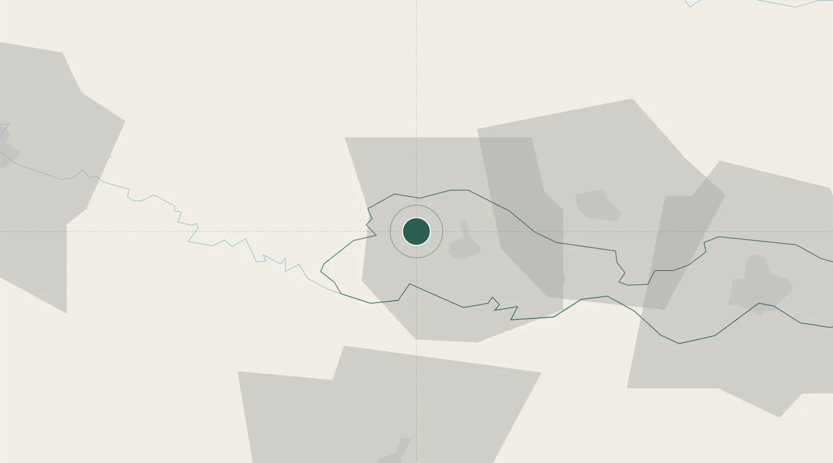
Hub Profile
Place type
Populated place
Region
Bratislava Region
Population
1,300
Time zone
Europe/Bratislava
Elevation
163 m
Location
Nearby Logistics Neighbours
Cities
- 1Nova Gradiska9 km
- 2Buchlovice24 km
- 3Pozega32 km
- 4Daruvar32 km
- 5Oriovac40 km
Airports
- 1Banja Luka International Airport40 km
- 2Zagreb Franjo Tuđman International Airport107 km
- 3Pécs-Pogány International Airport107 km
- 4Osijek Airport121 km
- 5Taszár Air Base131 km
Trade Zones
- 1Duro Daković Free Zone59 km
- 2Osijek Free Zone92 km
- 3PJ Free Zone Zagreb123 km
- 4Free Zone Holc, Lukavac128 km
- 5Sjever Free Zone132 km
DatabookThe Record of Consolidated Knowledge
Slovakia beyond logistics?