Transport Functions
Rail
Road
Hub Profile
Place type
Provincial seat
Region
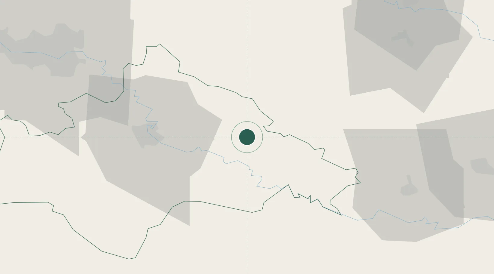
Sisak-Moslavina
Population
12,012
Time zone
Europe/Zagreb
Elevation
104 m
Location
Nearby Logistics Neighbours
Cities
- 1Sisak31 km
- 2Daruvar37 km
- 3Petrinja39 km
- 4Ivanic-Grad40 km
- 5Kriz41 km
Ports
- 1Senj156 km
- 2Bakar175 km
- 3Omisalj176 km
- 4Rijeka Luka183 km
- 5Zadar194 km
Airports
Trade Zones
- 1PJ Free Zone Zagreb79 km
- 2Sjever Free Zone97 km
- 3Duro Daković Free Zone103 km
- 4Krapina-Zagorje Free Zone103 km
- 5Osijek Free Zone133 km
DatabookThe Record of Consolidated Knowledge
Croatia beyond logistics?