Transport Functions
Port
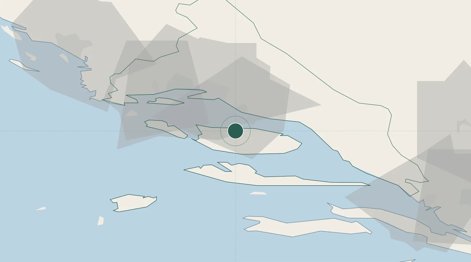
Hub Profile
Place type
Populated place
Region
Split-Dalmatia
Population
352
Time zone
Europe/Zagreb
Elevation
24 m
Location
Nearby Logistics Neighbours
Airports
- 1Brač Airport11 km
- 2Split Saint Jerome Airport31 km
- 3Mostar International Airport101 km
- 4Zadar Airport129 km
- 5Udbina Airfield148 km
Trade Zones
- 1Split-Dalmatia Free Zone21 km
- 2Port of Split Free Zone22 km
- 3Port of Ploče Free Zone76 km
- 4Free Zone Hercegovina98 km
- 5Free Zone Visoko144 km
DatabookThe Record of Consolidated Knowledge
Croatia beyond logistics?