Transport Functions
Multimodal
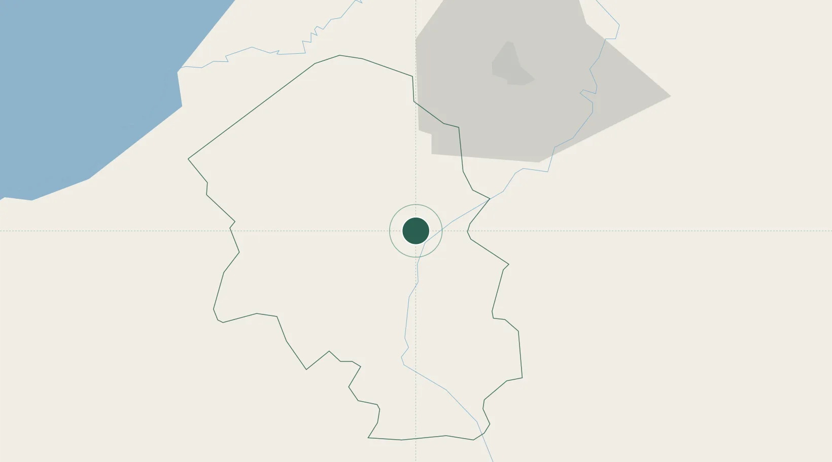
Hub Profile
Place type
Populated place
Region
Santa Bárbara Department
Population
4,276
Time zone
America/Tegucigalpa
Elevation
216 m
Location
Nearby Logistics Neighbours
Cities
- 1Quimistan30 km
- 2Rio Lindo31 km
- 3La Flecha32 km
- 4Villanueva32 km
- 5Búfalo37 km
Ports
- 1Santo Tomas De Castilla75 km
- 2Puerto Barrios77 km
- 3Puerto Cortes84 km
- 4Tela111 km
- 5Big Creek155 km
Airports
- 1Ramón Villeda Morales International Airport49 km
- 2Puerto Barrios Airport76 km
- 3Palmerola International Airport106 km
- 4Tela Airport108 km
- 5Punta Gorda Airport124 km
Trade Zones
- 1Green Valley Industrial Park24 km
- 2Villanueva Industrial34 km
- 3ZIP Buena Vista36 km
- 4ZIP Bufalo Free Zone39 km
- 5ZIP San José46 km
DatabookThe Record of Consolidated Knowledge
Honduras beyond logistics?