Transport Functions
Multimodal
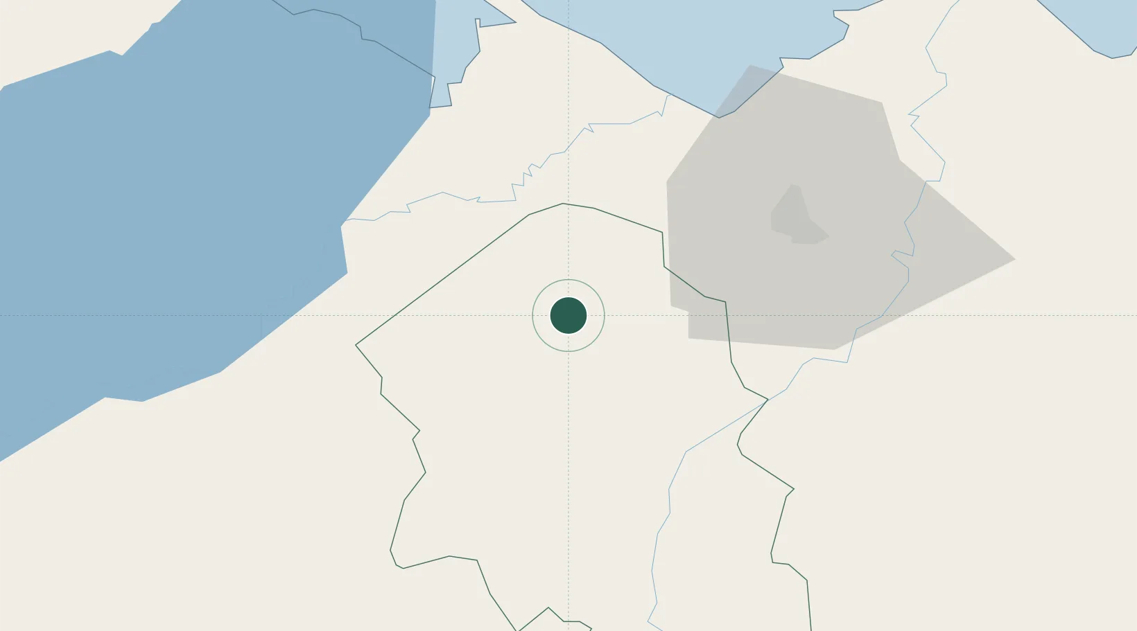
Hub Profile
Place type
Populated place
Region
Santa Bárbara Department
Population
3,517
Time zone
America/Tegucigalpa
Elevation
194 m
Location
Nearby Logistics Neighbours
Cities
- 1La Flecha12 km
- 2Sula21 km
- 3Corinto26 km
- 4Trinidad30 km
- 5Entre Ríos35 km
Ports
- 1Santo Tomas De Castilla45 km
- 2Puerto Barrios48 km
- 3Puerto Cortes72 km
- 4Tela113 km
- 5Big Creek130 km
Airports
- 1Puerto Barrios Airport47 km
- 2Ramón Villeda Morales International Airport52 km
- 3Punta Gorda Airport94 km
- 4Tela Airport110 km
- 5Big Creek Airport130 km
Trade Zones
- 1Green Valley Industrial Park23 km
- 2ZIP Bufalo Free Zone43 km
- 3Santo Tomas de Castillo Free Zone44 km
- 4Villanueva Industrial44 km
- 5ZIP Buena Vista44 km
DatabookThe Record of Consolidated Knowledge
Honduras beyond logistics?