Transport Functions
Multimodal
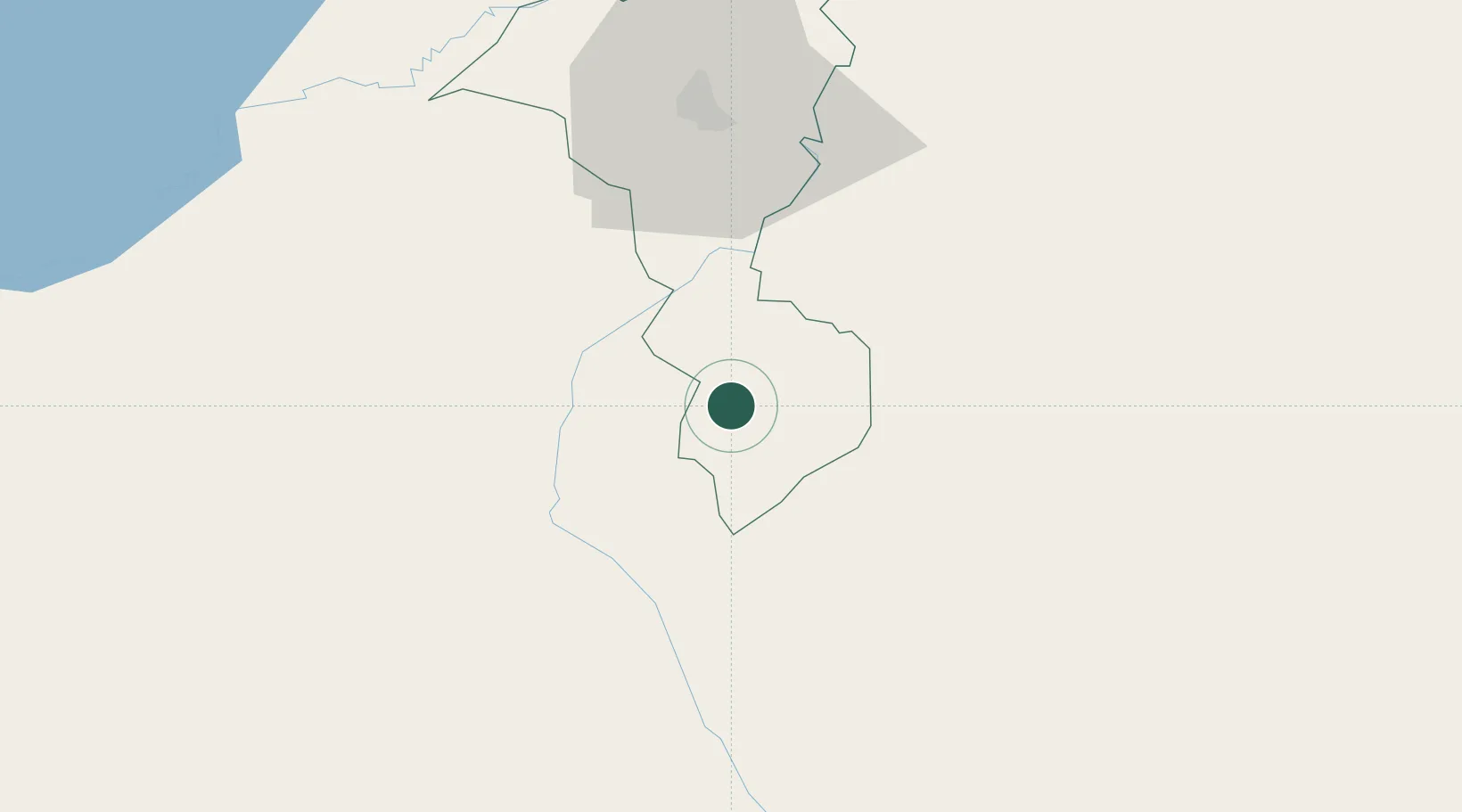
Hub Profile
Place type
Populated place
Region
Cortés Department
Population
3,479
Time zone
America/Tegucigalpa
Elevation
93 m
Location
Nearby Logistics Neighbours
Cities
- 1Santa Cruz de Yojoa8 km
- 2Trinidad31 km
- 3Villanueva34 km
- 4Búfalo41 km
- 5El Progreso46 km
Ports
- 1Puerto Cortes91 km
- 2Tela102 km
- 3Santo Tomas De Castilla103 km
- 4Puerto Barrios105 km
- 5La Ceiba151 km
Airports
- 1Ramón Villeda Morales International Airport49 km
- 2Palmerola International Airport80 km
- 3Tela Airport100 km
- 4Puerto Barrios Airport103 km
- 5Toncontín Airport133 km
Trade Zones
- 1Villanueva Industrial34 km
- 2ZIP Buena Vista37 km
- 3ZIP Bufalo Free Zone44 km
- 4Green Valley Industrial Park44 km
- 5ZIP Continental47 km
DatabookThe Record of Consolidated Knowledge
Honduras beyond logistics?