Transport Functions
Multimodal
Hub Profile
Place type
Populated place
Region
Copán Department
Time zone
America/Tegucigalpa
Elevation
1,574 m
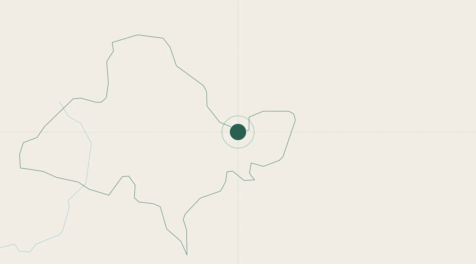
Location
Nearby Logistics Neighbours
Cities
- 1Azacuapla28 km
- 2Ocotepeque37 km
- 3Santa Rita62 km
- 4La Entrada62 km
- 5Aguilares71 km
Ports
- 1Santo Tomas De Castilla136 km
- 2Puerto Barrios140 km
- 3Acajutla150 km
- 4La Union170 km
- 5Puerto Cortes177 km
Airports
Trade Zones
- 1Zona Franca Pipil81 km
- 2Zona Franca Sam-Li88 km
- 3Zona Franca Santa Ana92 km
- 4Zona Franca San Bartolo93 km
- 5El Pedregal Free Zone98 km
DatabookThe Record of Consolidated Knowledge
Honduras beyond logistics?