Transport Functions
Multimodal
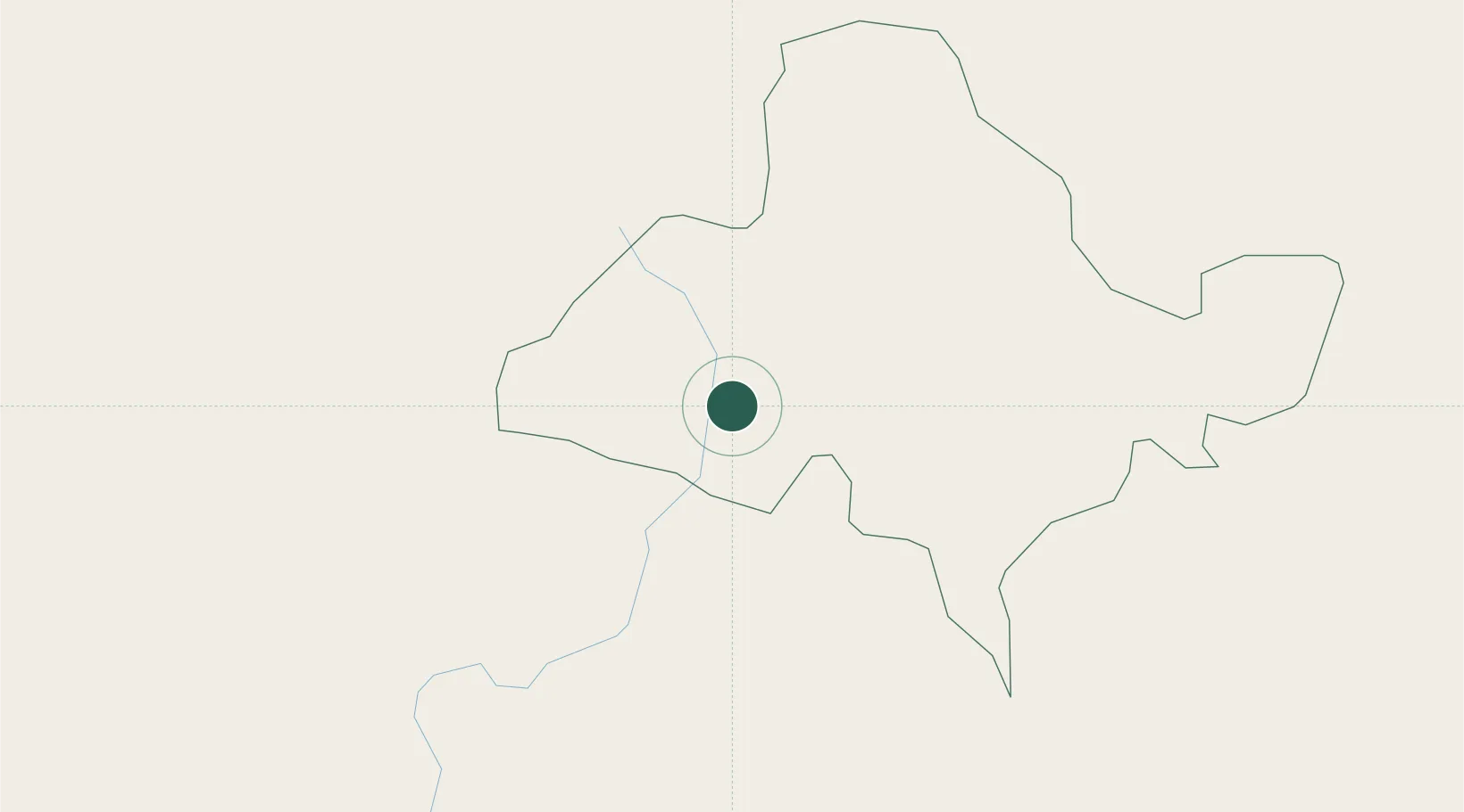
Hub Profile
Region
OC
Location
Nearby Logistics Neighbours
Cities
- 1Amatillo37 km
- 2Azacuapla50 km
- 3Aguilares54 km
- 4San Salvador73 km
- 5Apopa73 km
Ports
- 1Acajutla120 km
- 2Santo Tomas De Castilla153 km
- 3Puerto Barrios158 km
- 4Puerto Quetzal184 km
- 5La Union190 km
Airports
Trade Zones
- 1Zona Franca Pipil58 km
- 2Zona Franca Santa Ana60 km
- 3Zona Franca Sam-Li65 km
- 4American Park Free Zone73 km
- 5Zona Franca 1074 km
DatabookThe Record of Consolidated Knowledge
Honduras beyond logistics?