Transport Functions
Multimodal
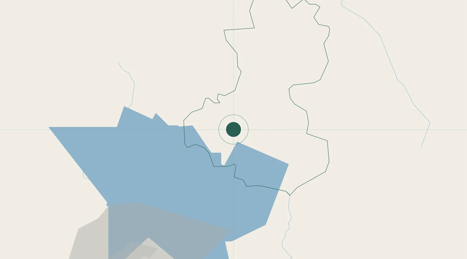
Location
Nearby Logistics Neighbours
Cities
- 1Amatillo28 km
- 2Santa Rita35 km
- 3Ocotepeque50 km
- 4Aguilares59 km
- 5Apopa73 km
Ports
- 1Acajutla143 km
- 2La Union143 km
- 3Santo Tomas De Castilla160 km
- 4Puerto Barrios164 km
- 5Puerto De Hencan170 km
Airports
Trade Zones
- 1Zona Franca Pipil72 km
- 2Zona Franca San Bartolo74 km
- 3Zona Franca Sam-Li79 km
- 4Zona Franca Santo Tomás81 km
- 5El Pedregal Free Zone82 km
DatabookThe Record of Consolidated Knowledge
Honduras beyond logistics?