Transport Functions
Multimodal
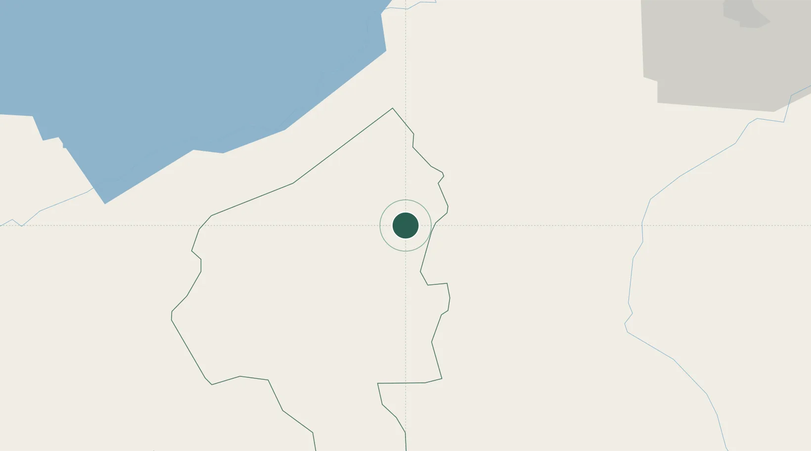
Hub Profile
Place type
Populated place
Region
Copán Department
Population
14,705
Time zone
America/Tegucigalpa
Elevation
508 m
Location
Nearby Logistics Neighbours
Ports
- 1Santo Tomas De Castilla73 km
- 2Puerto Barrios77 km
- 3Puerto Cortes121 km
- 4Tela160 km
- 5Big Creek167 km
Airports
Trade Zones
- 1Green Valley Industrial Park67 km
- 2Santo Tomas de Castillo Free Zone73 km
- 3Villanueva Industrial85 km
- 4ZIP Buena Vista87 km
- 5ZIP Bufalo Free Zone88 km
DatabookThe Record of Consolidated Knowledge
Honduras beyond logistics?