UN/LOCODE hub · Hong Kong SAR China
HKKWN
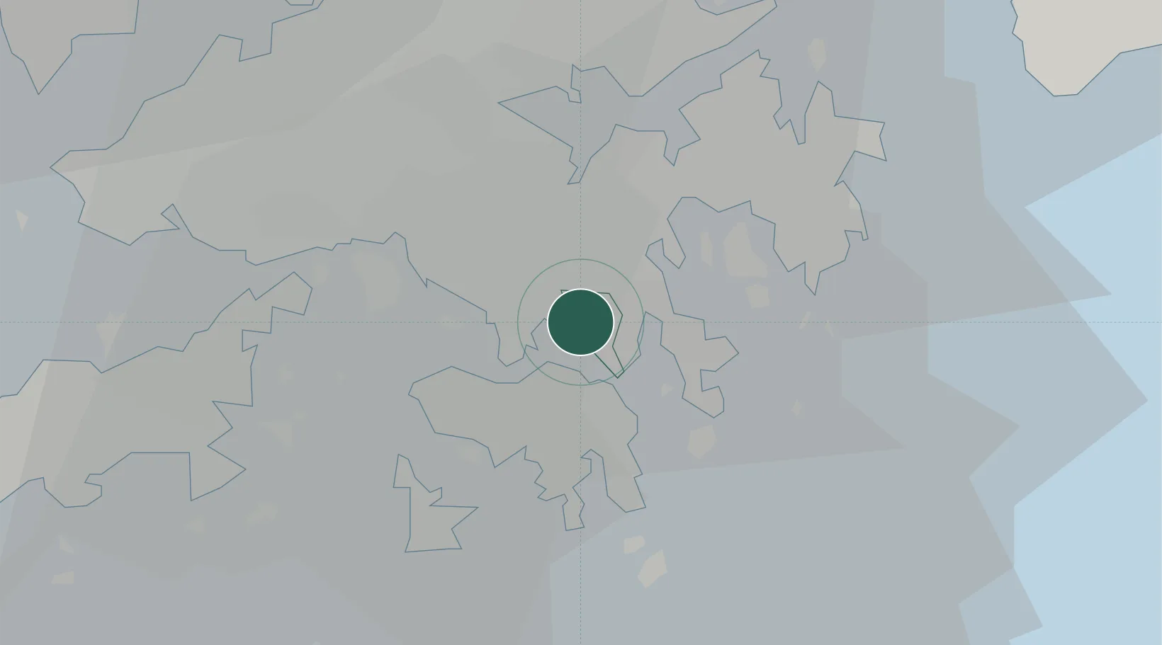
Kowloon
22.3157°, 114.2168°
2,232,339
Population
3
Transport functions
Transport Functions
Port
Rail
Road
Hub Profile
Place type
Urban district
Population
2,232,339
Time zone
Asia/Hong_Kong
Elevation
92 m
Logistics facilities
2
Location
Nearby Logistics Neighbours
Cities
- 1Kwun Tong0 km
- 2Hung Hom4 km
- 3Causeway Bay5 km
- 4Yau Ma Tei5 km
- 5Tsim Sha Tsui5 km
Airports
Trade Zones
DatabookThe Record of Consolidated Knowledge
Hong Kong SAR China beyond logistics?