UN/LOCODE hub · Hong Kong SAR China
HKKTZ
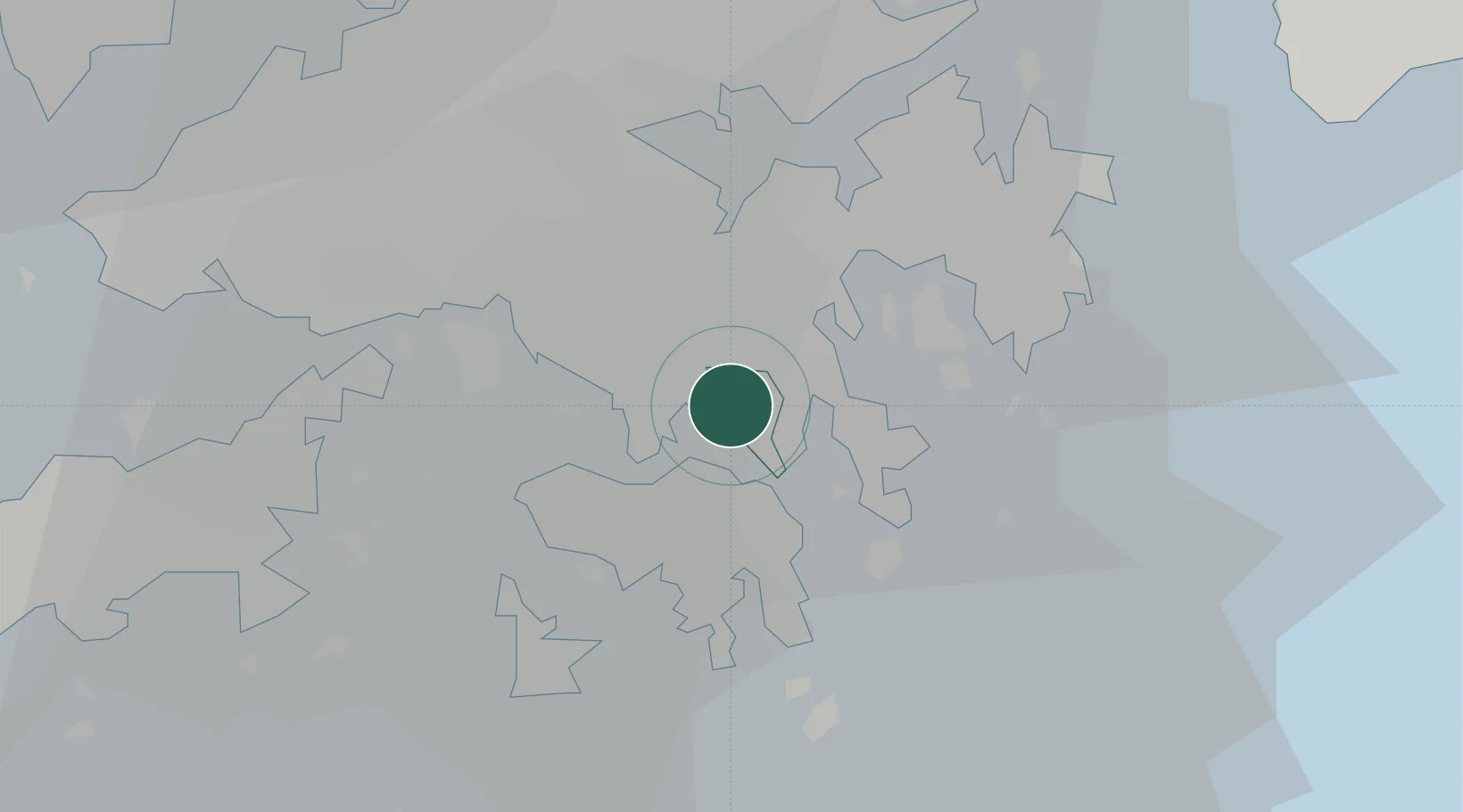
Kwun Tong
22.3167°, 114.2167°
16,766
Population
3
Transport functions
Transport Functions
Rail
Road
Airport
Hub Profile
Place type
Regional capital
Region
Kwun Tong District
Population
16,766
Time zone
Asia/Hong_Kong
Elevation
43 m
Location
Nearby Logistics Neighbours
Cities
- 1Kowloon0 km
- 2Hung Hom4 km
- 3Causeway Bay5 km
- 4Yau Ma Tei5 km
- 5Tsim Sha Tsui6 km
Airports
Trade Zones
DatabookThe Record of Consolidated Knowledge
Hong Kong SAR China beyond logistics?