UN/LOCODE hub · Hong Kong SAR China
HKGOM
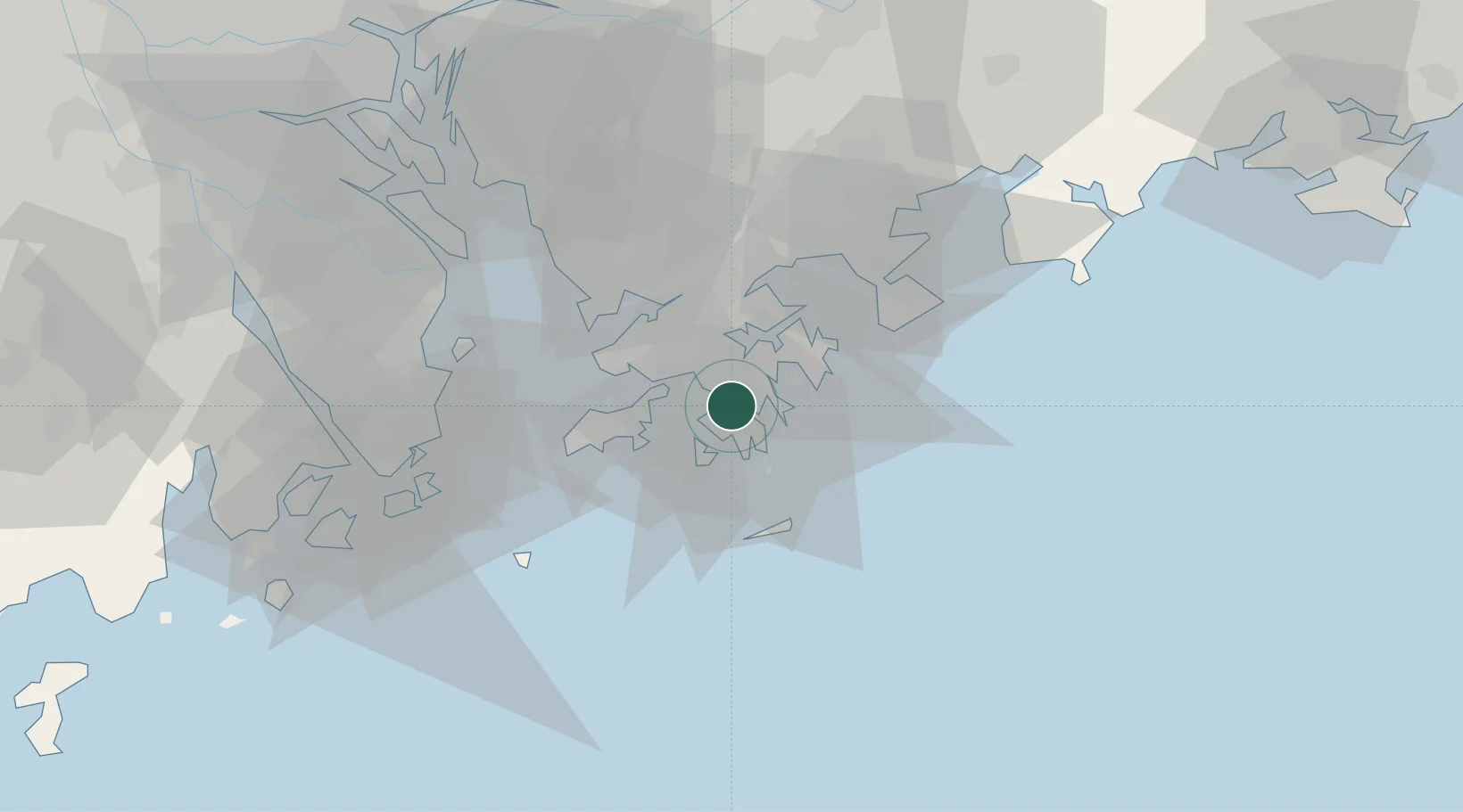
Hung Hom
22.3000°, 114.1833°
13,762
Population
1
Transport functions
Transport Functions
Multimodal
Hub Profile
Place type
Populated place
Region
Kowloon City
Population
13,762
Time zone
Asia/Hong_Kong
Elevation
12 m
Location
Nearby Logistics Neighbours
Cities
- 1Tsim Sha Tsui2 km
- 2Causeway Bay2 km
- 3Yau Ma Tei3 km
- 4Wan Chai3 km
- 5Huludao4 km
Airports
Trade Zones
DatabookThe Record of Consolidated Knowledge
Hong Kong SAR China beyond logistics?