UN/LOCODE hub · Hong Kong SAR China
HKTST
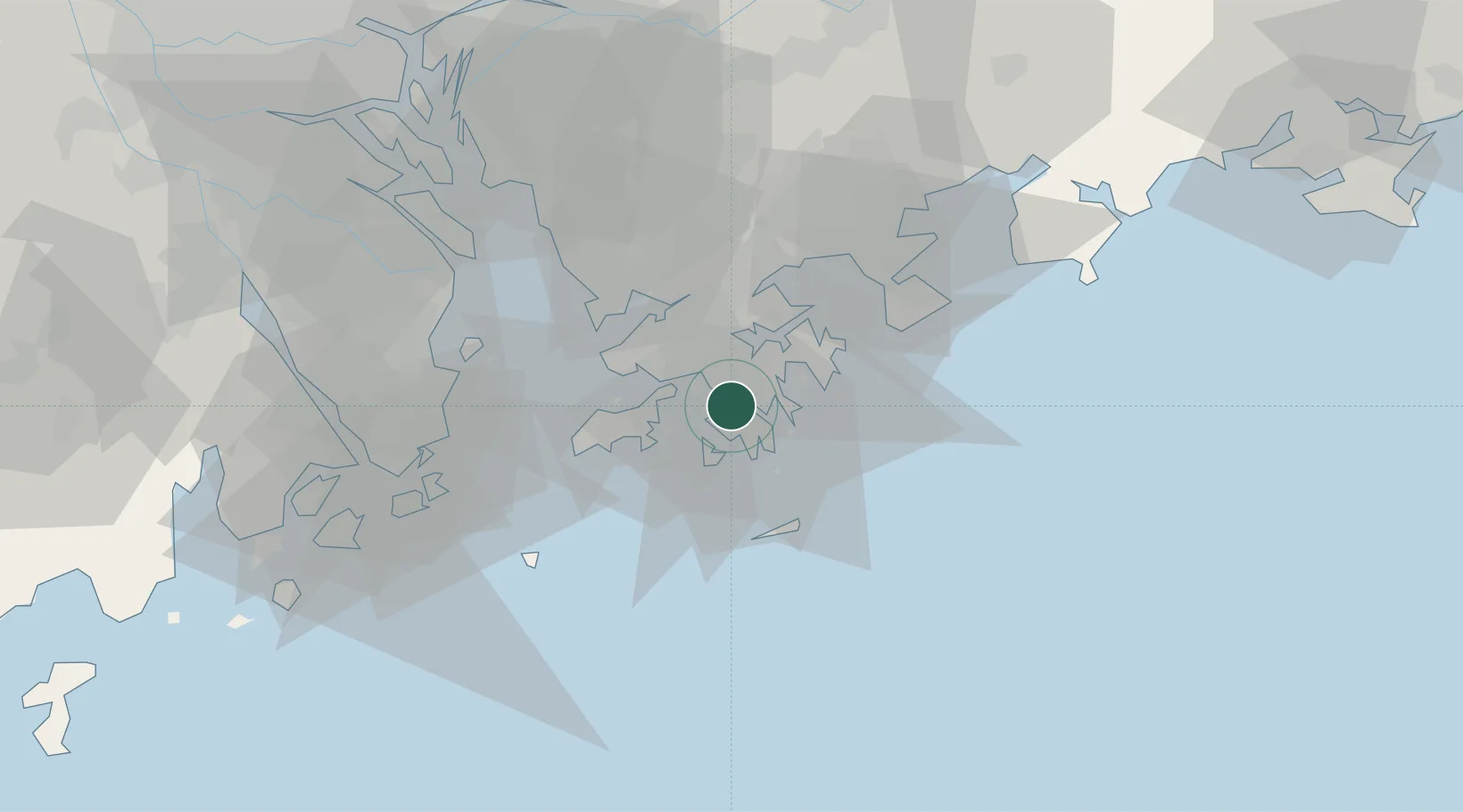
Tsim Sha Tsui
22.3000°, 114.1667°
24,557
Population
2
Transport functions
Transport Functions
Port
Road
Hub Profile
Place type
Populated place
Region
Kowloon City
Population
24,557
Time zone
Asia/Hong_Kong
Elevation
0 m
Location
Nearby Logistics Neighbours
DatabookThe Record of Consolidated Knowledge
Hong Kong SAR China beyond logistics?