Transport Functions
Multimodal
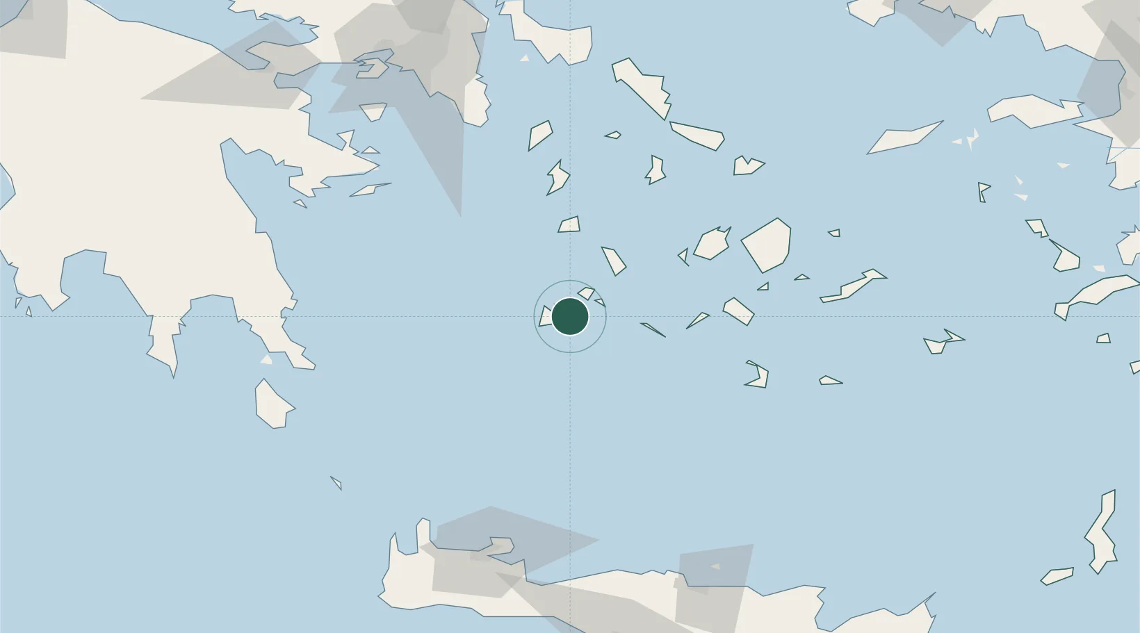
Location
Nearby Logistics Neighbours
Cities
- 1Adamas Milos5 km
- 2Voudia Milos7 km
- 3Xylokeratia Milos11 km
- 4Kímolos13 km
- 5Prassa Kimolos16 km
Ports
- 1Milos4 km
- 2Nisos Naxos90 km
- 3Limin Sirou92 km
- 4Mikonos112 km
- 5Lavrio117 km
Airports
- 1Milos Airport1 km
- 2Paros National Airport66 km
- 3Naxos Island National Airport89 km
- 4Syros Airport90 km
- 5Santorini International Airport95 km
Trade Zones
- 1Free Zone of Piraeus159 km
- 2Free Zone of Heraklion175 km
- 3Aegean Free Zone296 km
- 4Izmir Ataturk Organized Industrial Zone300 km
- 5Izmir Free Zone303 km
DatabookThe Record of Consolidated Knowledge
Greece beyond logistics?