Small airport · Greece
Naxos Island National AirportLGNX
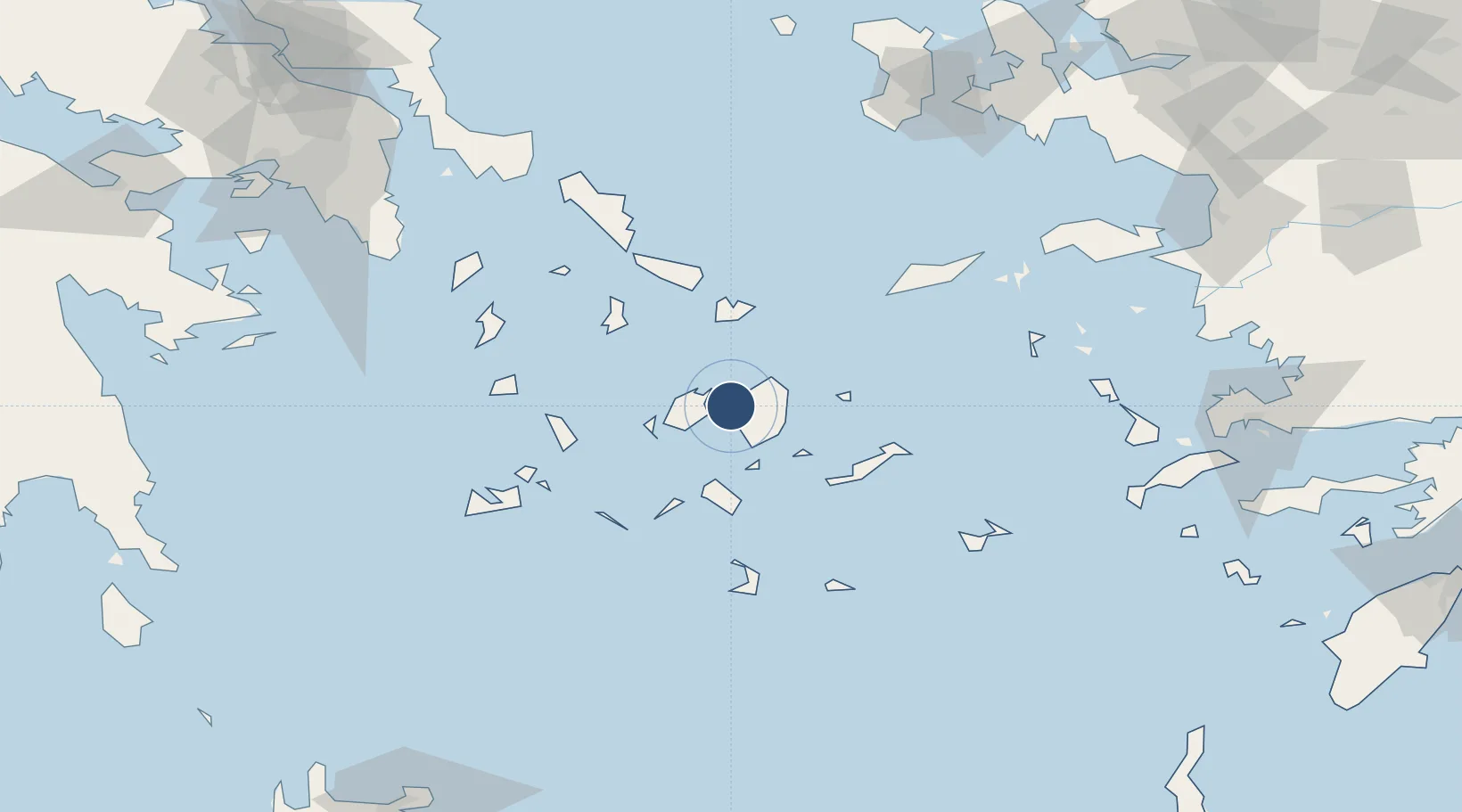
37.0811°, 25.3681°
2,953 ft
Longest runway
1
Runways
10 ft
Elevation
Runway & Layout

Runways · 1
| Runway | Dimensions | Surface | True heading | Lit |
|---|---|---|---|---|
| 18/36 | 2,953 × —ft | Unknown | — | — |
Airport Specifications
IATA code
JNX
ICAO code
LGNX
Airport class
Small airport
Scheduled service
Yes
Runway surface
Unknown
Served city
Naxos
Location
Nearby Logistics Neighbours
Airports
- 1Paros National Airport24 km
- 2Mykonos Island National Airport39 km
- 3Syros Airport53 km
- 4Santorini International Airport76 km
- 5Milos Airport90 km
Cities
- 1Náxos3 km
- 2Naoussa Parou13 km
- 3Moutsoúna19 km
- 4Páros19 km
- 5Herakleia Kykladon25 km
Ports
- 1Nisos Naxos2 km
- 2Mikonos41 km
- 3Limin Sirou54 km
- 4Milos91 km
- 5Andros91 km
Trade Zones
- 1Free Zone of Piraeus182 km
- 2Aegean Free Zone208 km
- 3Free Zone of Heraklion210 km
- 4Izmir Ataturk Organized Industrial Zone215 km
- 5Izmir Free Zone219 km
DatabookThe Record of Consolidated Knowledge
Greece beyond logistics?