UN/LOCODE hub · Greece
GRKMS

Kímolos

36.7833°, 24.5833°
837
Population
1
Transport functions

Transport Functions

Port
UN/LOCODE

Hub Profile

Place type
District seat
GeoNames
Region
South Aegean
GeoNames
Population
837
GeoNames
Time zone
Europe/Athens
GeoNames
Elevation
81 m
GeoNames

Location

Location of GRKMS
Natural Earth 10m (public domain) · South Aegean · GRKMS · 36.78, 24.58GoogleOSMYandex

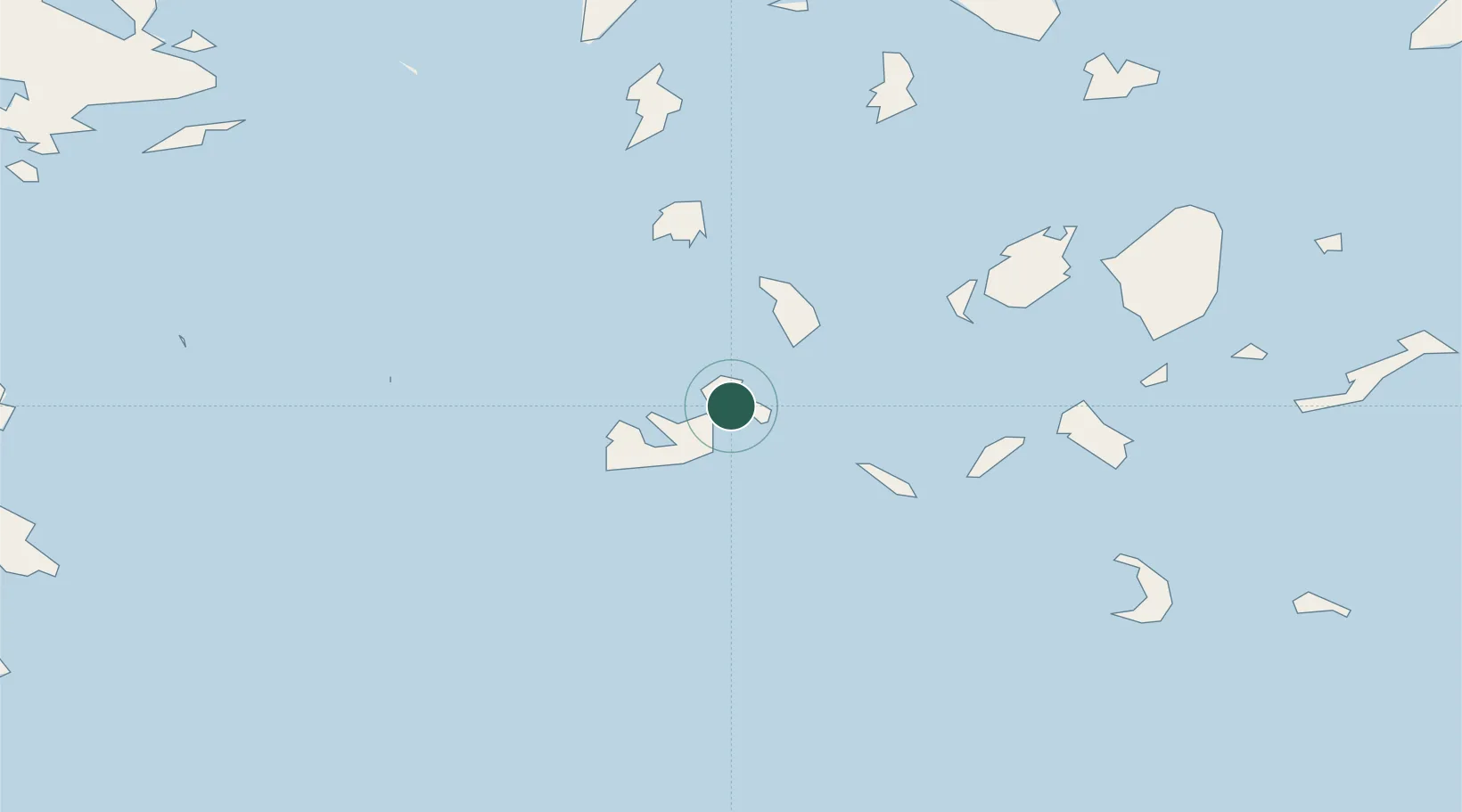
Nearby Logistics Neighbours

Cities
  1. 1Prassa Kimolos4 km
  2. 2Voudia Milos6 km
  3. 3Zefiri13 km
  4. 4Adamas Milos15 km
  5. 5Xylokeratia Milos23 km
Nearest neighbours — logibook spatial index (haversine) over the source coordinates
Ports
  1. 1Milos14 km
  2. 2Nisos Naxos78 km
  3. 3Limin Sirou79 km
  4. 4Mikonos100 km
  5. 5Lavrio112 km
Nearest neighbours — logibook spatial index (haversine) over the source coordinates
Airports
  1. 1Milos Airport14 km
  2. 2Paros National Airport54 km
  3. 3Naxos Island National Airport77 km
  4. 4Syros Airport78 km
  5. 5Santorini International Airport91 km
Nearest neighbours — logibook spatial index (haversine) over the source coordinates
Trade Zones
  1. 1Free Zone of Piraeus155 km
  2. 2Free Zone of Heraklion181 km
  3. 3Aegean Free Zone283 km
  4. 4Izmir Ataturk Organized Industrial Zone288 km
  5. 5Izmir Free Zone290 km
Nearest neighbours — logibook spatial index (haversine) over the source coordinates
DatabookThe Record of Consolidated Knowledge
Greece beyond logistics?
Browse databook

All Sources

LocationsUN/LOCODE
UN/LOCODE — free
LocationsGeoNames
CC BY 4.0
Portsthe NGA World Port Index
Public domain (US gov)
AirportsOurAirports
Public domain
Trade Zonesthe World Bank SEZ database
CC BY 4.0
Trade ZonesOpen Zone Map
CC BY
← Greece locations