UN/LOCODE hub · Greece
GRADL

Adamas Milos

36.7167°, 24.4333°
1
Transport functions

Transport Functions

Port
UN/LOCODE

Hub Profile

Region
L
GeoNames

Location

Location of GRADL
Natural Earth 10m (public domain) · L · GRADL · 36.72, 24.43GoogleOSMYandex

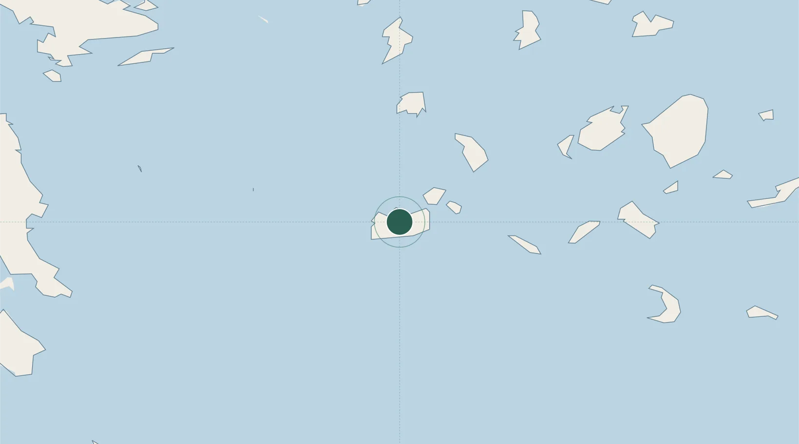
Nearby Logistics Neighbours

Cities
  1. 1Zefiri5 km
  2. 2Xylokeratia Milos8 km
  3. 3Voudia Milos10 km
  4. 4Kímolos15 km
  5. 5Prassa Kimolos17 km
Nearest neighbours — logibook spatial index (haversine) over the source coordinates
Ports
  1. 1Milos2 km
  2. 2Limin Sirou92 km
  3. 3Nisos Naxos93 km
  4. 4Lavrio114 km
  5. 5Mikonos114 km
Nearest neighbours — logibook spatial index (haversine) over the source coordinates
Airports
  1. 1Milos Airport5 km
  2. 2Paros National Airport69 km
  3. 3Syros Airport91 km
  4. 4Naxos Island National Airport93 km
  5. 5Santorini International Airport100 km
Nearest neighbours — logibook spatial index (haversine) over the source coordinates
Trade Zones
  1. 1Free Zone of Piraeus155 km
  2. 2Free Zone of Heraklion178 km
  3. 3Aegean Free Zone298 km
  4. 4Izmir Ataturk Organized Industrial Zone303 km
  5. 5Izmir Free Zone305 km
Nearest neighbours — logibook spatial index (haversine) over the source coordinates
DatabookThe Record of Consolidated Knowledge
Greece beyond logistics?
Browse databook

All Sources

LocationsUN/LOCODE
UN/LOCODE — free
Portsthe NGA World Port Index
Public domain (US gov)
AirportsOurAirports
Public domain
Trade Zonesthe World Bank SEZ database
CC BY 4.0
Trade ZonesOpen Zone Map
CC BY
← Greece locations