UN/LOCODE hub · Greece
GRVOM

Voudia Milos

36.7500°, 24.5333°
1
Transport functions

Transport Functions

Port
UN/LOCODE

Hub Profile

Region
L
GeoNames

Location

Location of GRVOM
Natural Earth 10m (public domain) · L · GRVOM · 36.75, 24.53GoogleOSMYandex

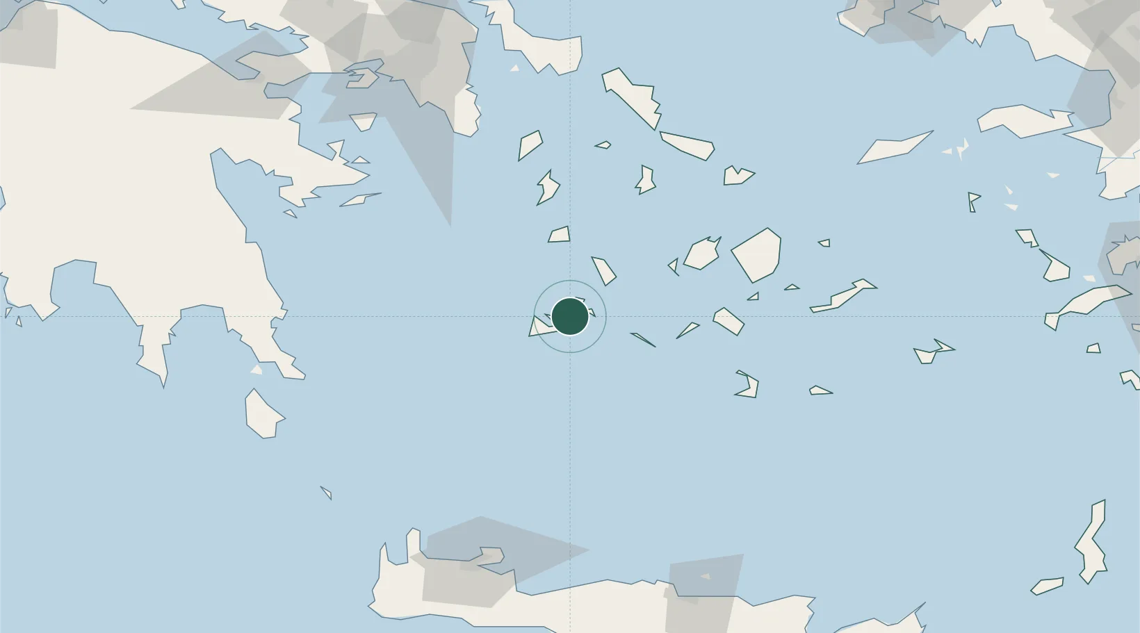
Nearby Logistics Neighbours

Cities
  1. 1Kímolos6 km
  2. 2Zefiri7 km
  3. 3Prassa Kimolos9 km
  4. 4Adamas Milos10 km
  5. 5Xylokeratia Milos18 km
Nearest neighbours — logibook spatial index (haversine) over the source coordinates
Ports
  1. 1Milos8 km
  2. 2Nisos Naxos84 km
  3. 3Limin Sirou85 km
  4. 4Mikonos105 km
  5. 5Lavrio113 km
Nearest neighbours — logibook spatial index (haversine) over the source coordinates
Airports
  1. 1Milos Airport8 km
  2. 2Paros National Airport60 km
  3. 3Naxos Island National Airport83 km
  4. 4Syros Airport84 km
  5. 5Santorini International Airport93 km
Nearest neighbours — logibook spatial index (haversine) over the source coordinates
Trade Zones
  1. 1Free Zone of Piraeus156 km
  2. 2Free Zone of Heraklion179 km
  3. 3Aegean Free Zone289 km
  4. 4Izmir Ataturk Organized Industrial Zone293 km
  5. 5Izmir Free Zone296 km
Nearest neighbours — logibook spatial index (haversine) over the source coordinates
DatabookThe Record of Consolidated Knowledge
Greece beyond logistics?
Browse databook

All Sources

LocationsUN/LOCODE
UN/LOCODE — free
Portsthe NGA World Port Index
Public domain (US gov)
AirportsOurAirports
Public domain
Trade Zonesthe World Bank SEZ database
CC BY 4.0
Trade ZonesOpen Zone Map
CC BY
← Greece locations