Large airport · Greece
Santorini International AirportLGSR
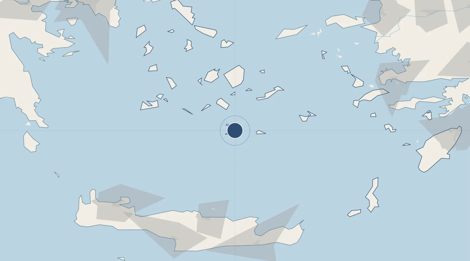
36.4000°, 25.4786°
7,208 ft
Longest runway
1
Runways
127 ft
Elevation
Runway & Layout

Radio Frequencies
TWR
118.05 MHz
APP
118.05 MHz
A/G
563.7 MHz
RDO
Navaids
SAN TACAN Santorini 116.40 MHz
SNI VOR-DME Santorini 110.40 MHz
THR NDB Thira 307 kHz
Runways · 1
| Runway | Dimensions | Surface | True heading | Lit |
|---|---|---|---|---|
| 15/33 | 7,208 × 98ft | Asphalt | 159° | ✓ |
Airport Specifications
IATA code
JTR
ICAO code
LGSR
Airport class
Large airport
Scheduled service
Yes
Runway surface
Asphalt
Served city
Santorini Island
Location
Nearby Logistics Neighbours
Airports
- 1Paros National Airport76 km
- 2Naxos Island National Airport76 km
- 3Astypalaia Airport83 km
- 4Milos Airport95 km
- 5Mykonos Island National Airport116 km
Cities
- 1Thíra5 km
- 2Athinios Thira Santorini6 km
- 3Oia Kyklades11 km
- 4Thirasía12 km
- 5Anáfi26 km
Ports
- 1Nisos Naxos79 km
- 2Milos98 km
- 3Mikonos118 km
- 4Iraklion121 km
- 5Limin Sirou124 km
Trade Zones
- 1Free Zone of Heraklion138 km
- 2Free Zone of Piraeus239 km
- 3Aegean Free Zone260 km
- 4Izmir Ataturk Organized Industrial Zone270 km
- 5Tire Organized Industrial Zone275 km
DatabookThe Record of Consolidated Knowledge
Greece beyond logistics?