Small airport · Greece
Paros National AirportLGPA
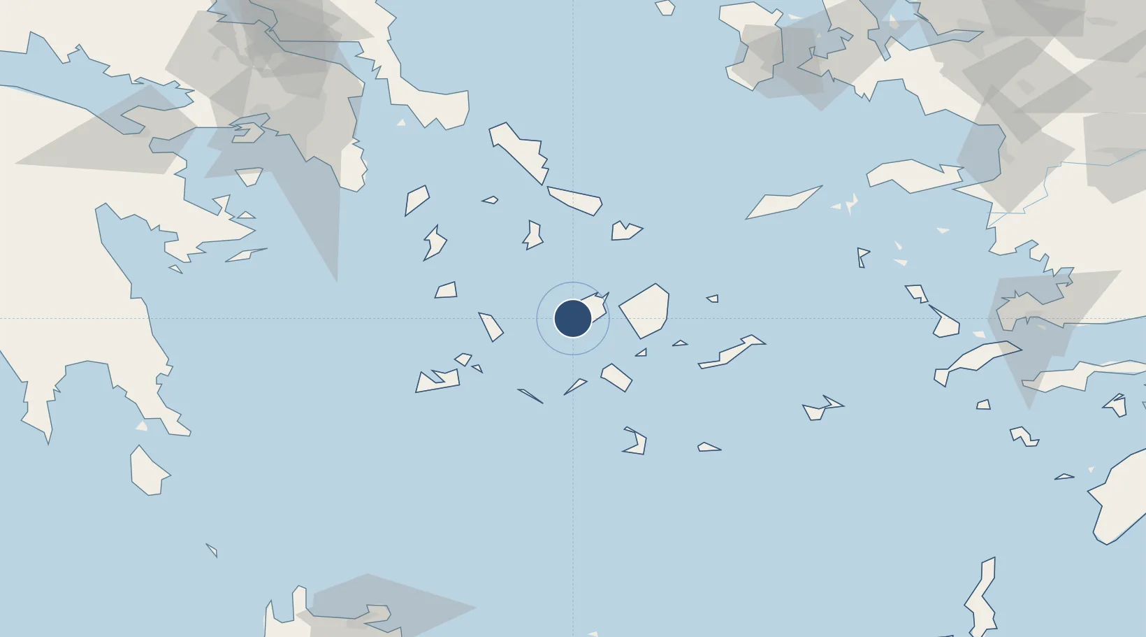
37.0205°, 25.1132°
4,593 ft
Longest runway
1
Runways
131 ft
Elevation
Runway & Layout

Radio Frequencies
AFIS
125.05 MHz
PAROS INFORMATION
Runways · 1
| Runway | Dimensions | Surface | True heading | Lit |
|---|---|---|---|---|
| 17/35 | 4,593 × 98ft | Asphalt | — | ✓ |
Airport Specifications
IATA code
PAS
ICAO code
LGPA
Airport class
Small airport
Scheduled service
Yes
Runway surface
Asphalt
Served city
Paros
Location
Nearby Logistics Neighbours
Airports
- 1Naxos Island National Airport24 km
- 2Syros Airport47 km
- 3Mykonos Island National Airport51 km
- 4Milos Airport67 km
- 5Santorini International Airport76 km
Cities
- 1Antiparos3 km
- 2Páros8 km
- 3Naoussa Parou15 km
- 4Náxos26 km
- 5Sikinos36 km
Ports
- 1Nisos Naxos24 km
- 2Limin Sirou48 km
- 3Mikonos52 km
- 4Milos68 km
- 5Andros92 km
Trade Zones
- 1Free Zone of Piraeus168 km
- 2Free Zone of Heraklion202 km
- 3Aegean Free Zone230 km
- 4Izmir Ataturk Organized Industrial Zone235 km
- 5Izmir Free Zone239 km
DatabookThe Record of Consolidated Knowledge
Greece beyond logistics?