Transport Functions
Port
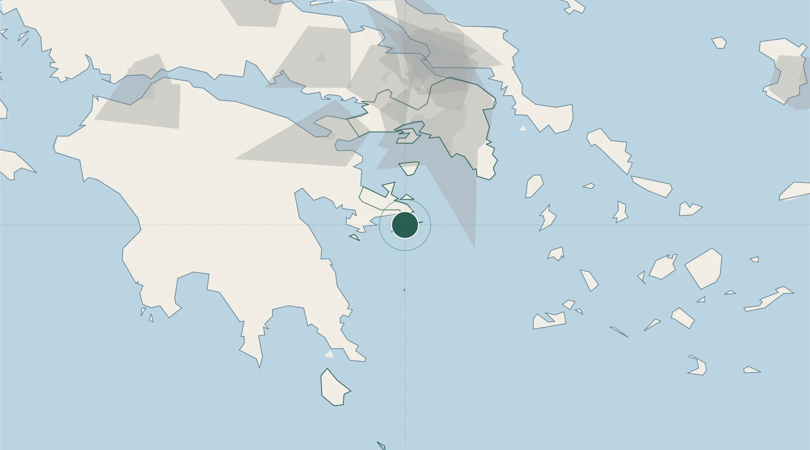
Location
Nearby Logistics Neighbours
Cities
- 1Galatas Troizinas17 km
- 2Ermióni20 km
- 3Methana27 km
- 4Kosta Ermionidas27 km
- 5Spétsai30 km
Ports
- 1Navplio64 km
- 2Lavrio66 km
- 3Piraievs67 km
- 4Megara Oil Terminal69 km
- 5Yithion104 km
Airports
- 1Athens Eleftherios Venizelos International Airport78 km
- 2Elefsis Air Base80 km
- 3Tanagra Air Base110 km
- 4Milos Airport115 km
- 5Kithira Airport126 km
Trade Zones
DatabookThe Record of Consolidated Knowledge
Greece beyond logistics?