Transport Functions
Port
Airport
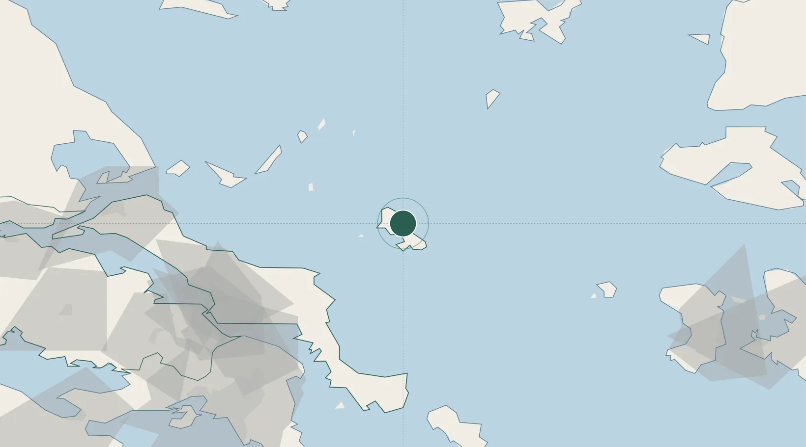
Location
Nearby Logistics Neighbours
Cities
- 1Linaria6 km
- 2Kimi (Kými)50 km
- 3Petries Evvoias65 km
- 4Alónnisos67 km
- 5Aliverio71 km
Ports
- 1Ormos Aliveriou73 km
- 2Kymassi96 km
- 3Gavrio114 km
- 4Andros123 km
- 5Piraievs134 km
Airports
- 1Skiros Airport10 km
- 2Skiathos Island National Airport97 km
- 3Tanagra Air Base107 km
- 4Athens Eleftherios Venizelos International Airport120 km
- 5Limnos Airport127 km
Trade Zones
DatabookThe Record of Consolidated Knowledge
Greece beyond logistics?