Transport Functions
Port
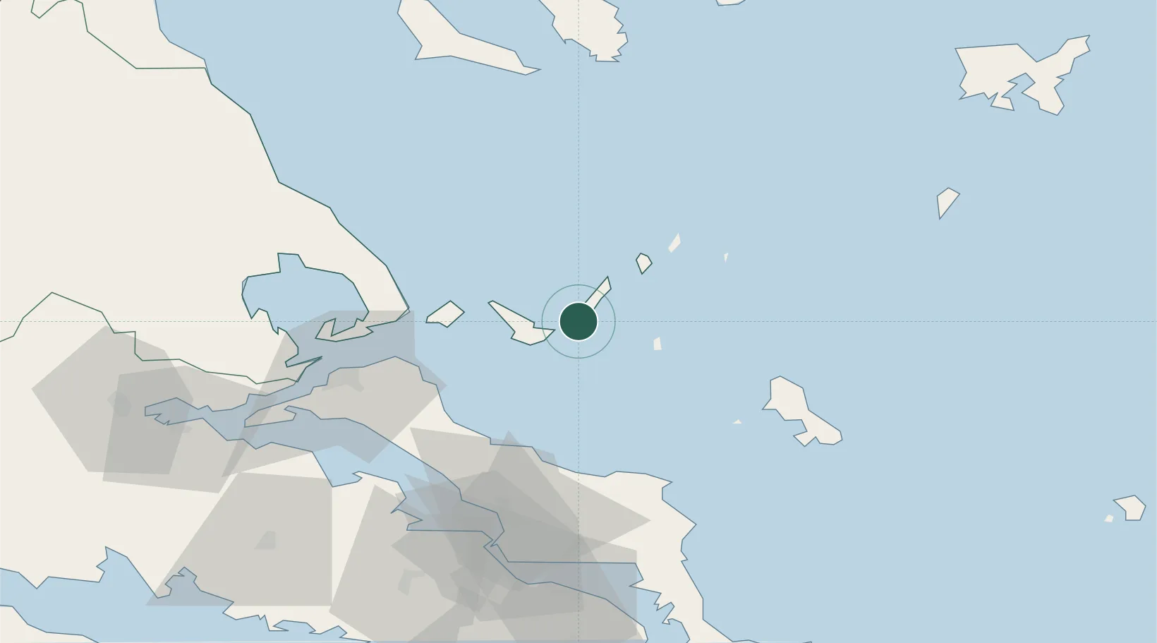
Location
Nearby Logistics Neighbours
Cities
- 1Agnontas Skopelos16 km
- 2Klima19 km
- 3Glossa22 km
- 4Skíathos33 km
- 5Kimási49 km
Ports
- 1Kymassi49 km
- 2Volos83 km
- 3Ormos Aliveriou87 km
- 4Tsingeli88 km
- 5Achladi95 km
Airports
- 1Skiathos Island National Airport31 km
- 2Skiros Airport57 km
- 3Nea Anchialos National Airport93 km
- 4Tanagra Air Base94 km
- 5Elefsis Air Base124 km
Trade Zones
- 1Free Zone of Piraeus136 km
- 2Free Zone of Thessaloniki184 km
- 3Free Zone of Platigiali (Astakos Etoloakarnanias)251 km
- 4TIDZ Gevgelija256 km
- 5TIDZ Strumica268 km
DatabookThe Record of Consolidated Knowledge
Greece beyond logistics?