Transport Functions
Port
Road
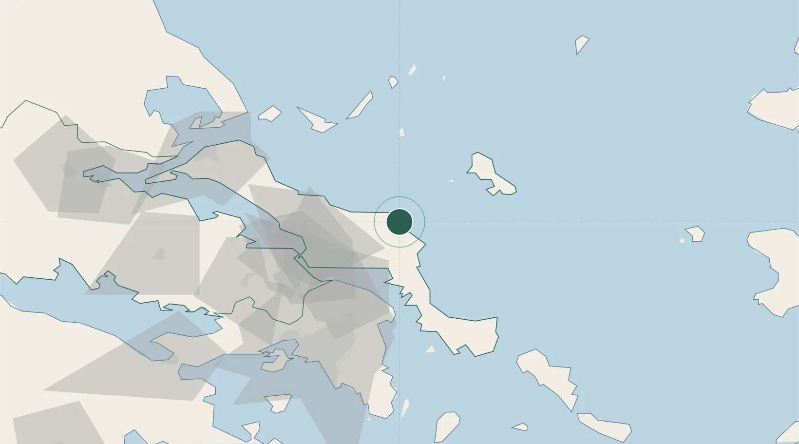
Location
Nearby Logistics Neighbours
Cities
- 1Aliverio26 km
- 2Petries Evvoias27 km
- 3Mylaki28 km
- 4Erétria37 km
- 5Psakhná41 km
Ports
- 1Ormos Aliveriou28 km
- 2Kymassi59 km
- 3Piraievs87 km
- 4Megara Oil Terminal96 km
- 5Gavrio100 km
Airports
Trade Zones
DatabookThe Record of Consolidated Knowledge
Greece beyond logistics?