Transport Functions
Port
Hub Profile
Place type
Populated place
Region
Central Greece
Time zone
Europe/Athens
Elevation
4 m
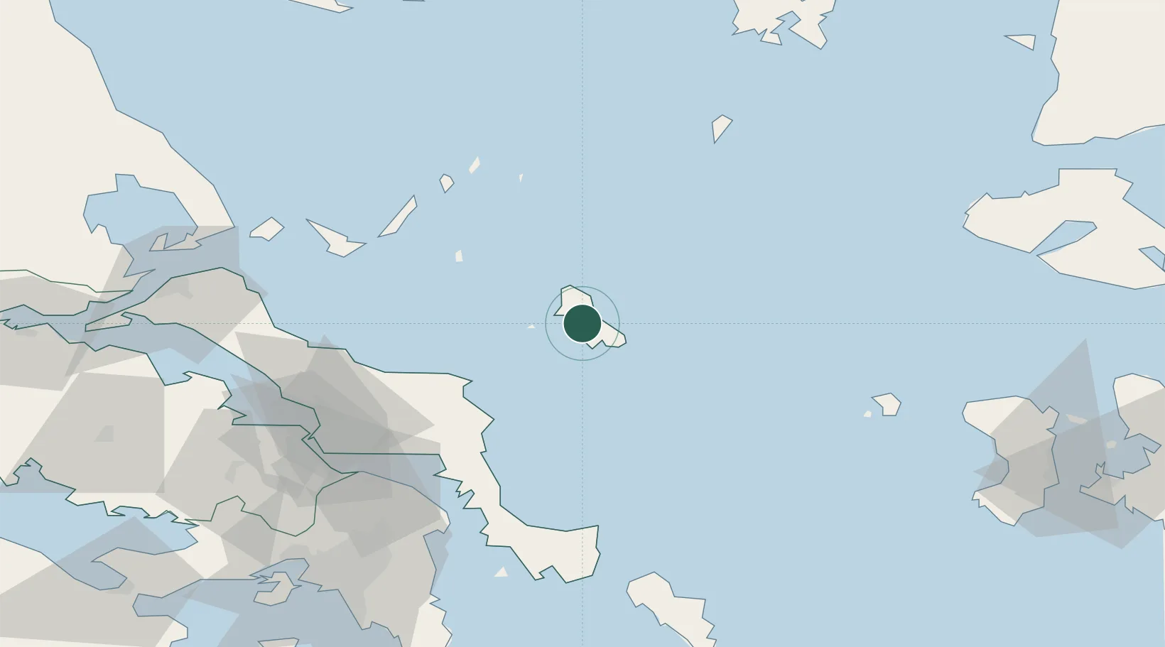
Location
Nearby Logistics Neighbours
Cities
- 1Skíros6 km
- 2Kimi (Kými)45 km
- 3Petries Evvoias59 km
- 4Aliverio65 km
- 5Mylaki66 km
Ports
- 1Ormos Aliveriou67 km
- 2Kymassi92 km
- 3Gavrio109 km
- 4Andros119 km
- 5Piraievs128 km
Airports
- 1Skiros Airport14 km
- 2Skiathos Island National Airport96 km
- 3Tanagra Air Base102 km
- 4Athens Eleftherios Venizelos International Airport114 km
- 5Elefsis Air Base122 km
Trade Zones
DatabookThe Record of Consolidated Knowledge
Greece beyond logistics?