Transport Functions
Port
Road
Airport
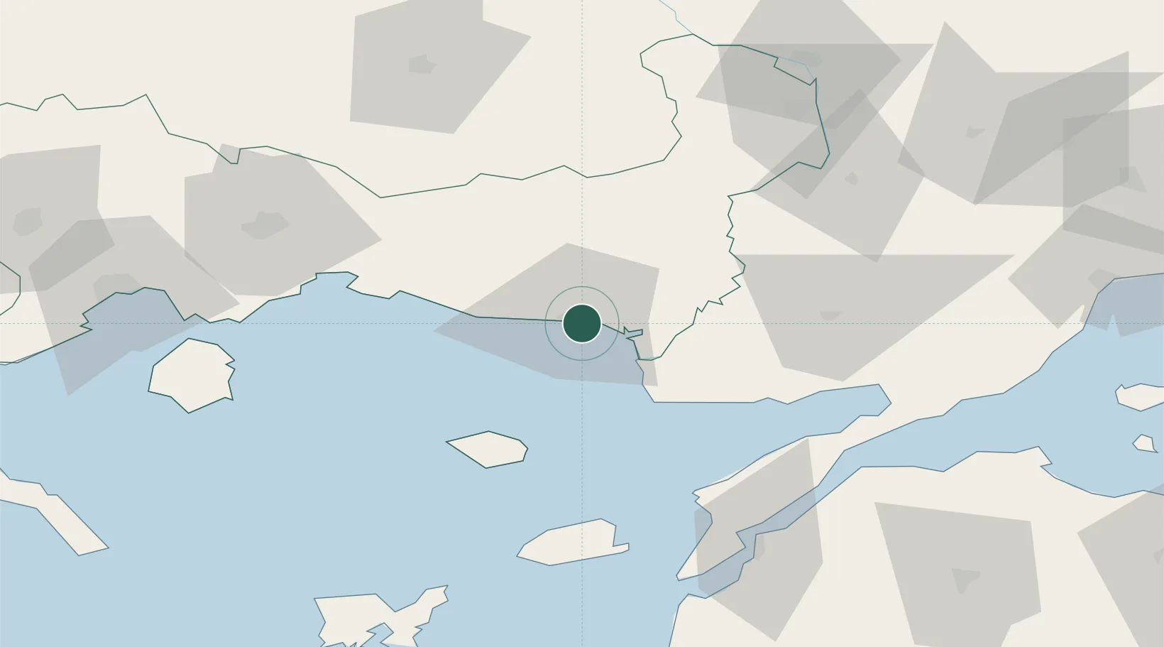
Location
Nearby Logistics Neighbours
Cities
- 1Enez22 km
- 2Néa Sánda29 km
- 3Samothráki50 km
- 4Souflíon54 km
- 5Lágos (Pórto-Lágo)66 km
Airports
Trade Zones
- 1Svilengrad Free Economic Zone106 km
- 2Kirklareli Organized Industrial Zone155 km
- 3Kuklen Industrial and Commercial Zone160 km
- 4European Free Zone170 km
- 5Trakia Economic Zone172 km
DatabookThe Record of Consolidated Knowledge
Greece beyond logistics?