UN/LOCODE hub · Greece
GRSER

Sériphos

37.1500°, 24.5000°
1
Transport functions

Transport Functions

Port
UN/LOCODE

Hub Profile

Region
82
GeoNames

Location

Location of GRSER
Natural Earth 10m (public domain) · 82 · GRSER · 37.15, 24.50GoogleOSMYandex

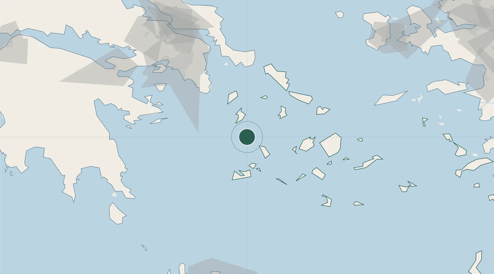
Nearby Logistics Neighbours

Cities
  1. 1Megálon Livádion7 km
  2. 2Kamares Sifnos24 km
  3. 3Kythnos27 km
  4. 4Prassa Kimolos38 km
  5. 5Kímolos41 km
Nearest neighbours — logibook spatial index (haversine) over the source coordinates
Ports
  1. 1Milos48 km
  2. 2Limin Sirou51 km
  3. 3Lavrio72 km
  4. 4Nisos Naxos77 km
  5. 5Mikonos81 km
Nearest neighbours — logibook spatial index (haversine) over the source coordinates
Airports
  1. 1Syros Airport50 km
  2. 2Milos Airport50 km
  3. 3Paros National Airport56 km
  4. 4Naxos Island National Airport77 km
  5. 5Mykonos Island National Airport81 km
Nearest neighbours — logibook spatial index (haversine) over the source coordinates
Trade Zones
  1. 1Free Zone of Piraeus118 km
  2. 2Free Zone of Heraklion223 km
  3. 3Aegean Free Zone266 km
  4. 4Izmir Ataturk Organized Industrial Zone268 km
  5. 5Izmir Free Zone269 km
Nearest neighbours — logibook spatial index (haversine) over the source coordinates
DatabookThe Record of Consolidated Knowledge
Greece beyond logistics?
Browse databook

All Sources

LocationsUN/LOCODE
UN/LOCODE — free
Portsthe NGA World Port Index
Public domain (US gov)
AirportsOurAirports
Public domain
Trade Zonesthe World Bank SEZ database
CC BY 4.0
Trade ZonesOpen Zone Map
CC BY
← Greece locations