UN/LOCODE hub · Greece
GRMEG

Megálon Livádion

37.1500°, 24.4167°
1
Transport functions

Transport Functions

Port
UN/LOCODE

Hub Profile

Region
82
GeoNames

Location

Location of GRMEG
Natural Earth 10m (public domain) · 82 · GRMEG · 37.15, 24.42GoogleOSMYandex

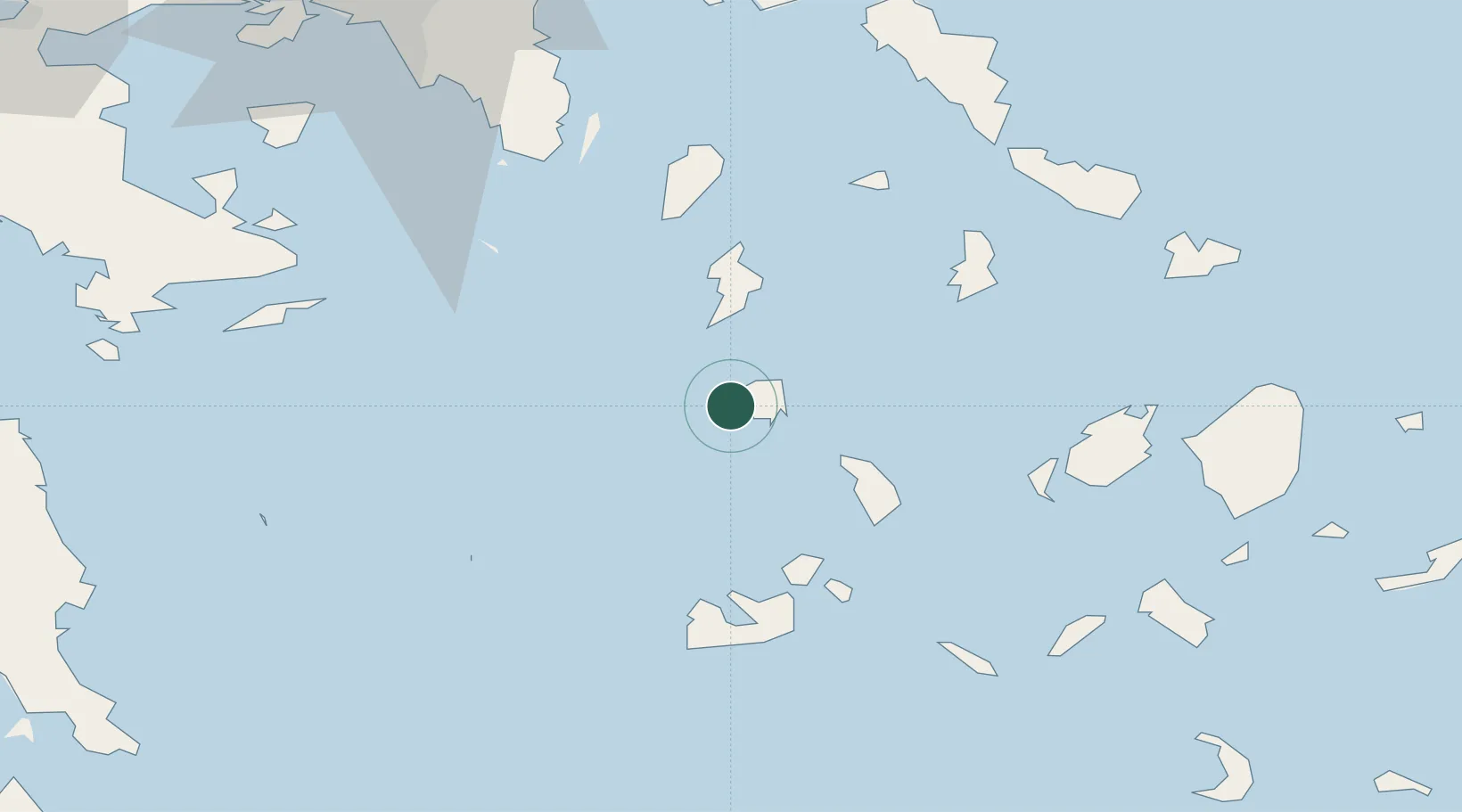
Nearby Logistics Neighbours

Cities
  1. 1Sériphos7 km
  2. 2Kythnos26 km
  3. 3Kamares Sifnos29 km
  4. 4Prassa Kimolos40 km
  5. 5Kímolos43 km
Nearest neighbours — logibook spatial index (haversine) over the source coordinates
Ports
  1. 1Milos48 km
  2. 2Limin Sirou57 km
  3. 3Lavrio69 km
  4. 4Nisos Naxos84 km
  5. 5Gavrio86 km
Nearest neighbours — logibook spatial index (haversine) over the source coordinates
Airports
  1. 1Milos Airport51 km
  2. 2Syros Airport56 km
  3. 3Paros National Airport63 km
  4. 4Naxos Island National Airport85 km
  5. 5Mykonos Island National Airport88 km
Nearest neighbours — logibook spatial index (haversine) over the source coordinates
Trade Zones
  1. 1Free Zone of Piraeus113 km
  2. 2Free Zone of Heraklion225 km
  3. 3Aegean Free Zone272 km
  4. 4Izmir Ataturk Organized Industrial Zone274 km
  5. 5Izmir Free Zone274 km
Nearest neighbours — logibook spatial index (haversine) over the source coordinates
DatabookThe Record of Consolidated Knowledge
Greece beyond logistics?
Browse databook

All Sources

LocationsUN/LOCODE
UN/LOCODE — free
Portsthe NGA World Port Index
Public domain (US gov)
AirportsOurAirports
Public domain
Trade Zonesthe World Bank SEZ database
CC BY 4.0
Trade ZonesOpen Zone Map
CC BY
← Greece locations