UN/LOCODE hub · Greece
GRKRE

Kamares Sifnos

36.9833°, 24.6667°
1
Transport functions

Transport Functions

Port
UN/LOCODE

Hub Profile

Region
82
GeoNames

Location

Location of GRKRE
Natural Earth 10m (public domain) · 82 · GRKRE · 36.98, 24.67GoogleOSMYandex

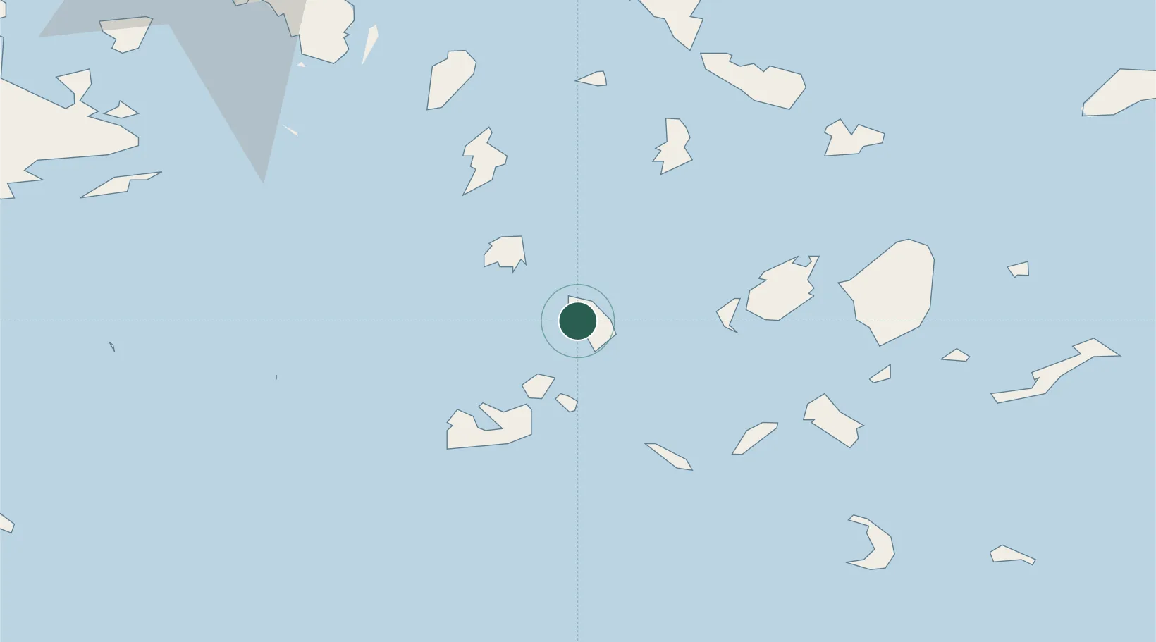
Nearby Logistics Neighbours

Cities
  1. 1Prassa Kimolos20 km
  2. 2Kímolos23 km
  3. 3Sériphos24 km
  4. 4Voudia Milos29 km
  5. 5Megálon Livádion29 km
Nearest neighbours — logibook spatial index (haversine) over the source coordinates
Ports
  1. 1Milos35 km
  2. 2Limin Sirou56 km
  3. 3Nisos Naxos64 km
  4. 4Mikonos79 km
  5. 5Lavrio96 km
Nearest neighbours — logibook spatial index (haversine) over the source coordinates
Airports
  1. 1Milos Airport36 km
  2. 2Paros National Airport40 km
  3. 3Syros Airport55 km
  4. 4Naxos Island National Airport63 km
  5. 5Mykonos Island National Airport79 km
Nearest neighbours — logibook spatial index (haversine) over the source coordinates
Trade Zones
  1. 1Free Zone of Piraeus142 km
  2. 2Free Zone of Heraklion202 km
  3. 3Aegean Free Zone264 km
  4. 4Izmir Ataturk Organized Industrial Zone267 km
  5. 5Izmir Free Zone269 km
Nearest neighbours — logibook spatial index (haversine) over the source coordinates
DatabookThe Record of Consolidated Knowledge
Greece beyond logistics?
Browse databook

All Sources

LocationsUN/LOCODE
UN/LOCODE — free
Portsthe NGA World Port Index
Public domain (US gov)
AirportsOurAirports
Public domain
Trade Zonesthe World Bank SEZ database
CC BY 4.0
Trade ZonesOpen Zone Map
CC BY
← Greece locations